
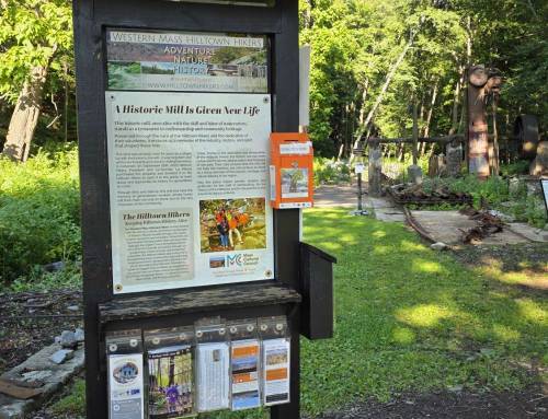
Round Top Hill in Chester is the highest point in Hampden County. The mountain is rich with emery deposits (and mines), moose and high elevation trees and has a plentitude of wildflowers in spring. The summit of hop hornbeam forest and sedge grasses is unique and only a few mountain tops are similar to this. List of John and Peakbaggers venture here to make the climb, sign the cache and locate all five benchmarks. The trails here consist of Unkamit’s Path (white blaze) a steep quick climb, the fire road (orange blaze) a gradual climb to the junction of both trails for a short distance to the summit. New signage at the top thanks to Hilltown Land Trust who with the gracious land conservation of the landowners help hikers learn about this very special destination. A new blue blazed loop around the top offers up views to the West, best seen when the leaves drop. Unkamit’s Path continues here across the entire mountain range and on to Gobble Mountain and the Keystone Arch Bridges Trail as it is the Highlands Footpath across the Hilltowns connecting with the Appalachian Trail in October Mountain State Forest and the New England Trail. Hilltown Hiker member, Patty brought his drone which he flew at the summit. #themountainsarecallingandimustgo
https://westernmasshilltownhikers.com/membership/ support the Hilltown Hikers become a member!
#chesterma #hikethehilltownhistory #hilltownhikers
#hikethehilltowns with the #westernmasshilltownhikers #discoverthehilltowns #visitthehills #hilltownhistory #flashhike #intheberkshires #nature #adventure #history #hiking #outdooradventures #visittheberkshires
Visit our blog for all of our adventures! We are on Instagram TikTok Pinterest Twitter YouTube Meetup @hilltownhikers www.hilltownhikers.com
A 501c3 Massachusetts Non-Profit Organization Donate here on Square https://hilltownhikers.square.site/


Leave a Reply