
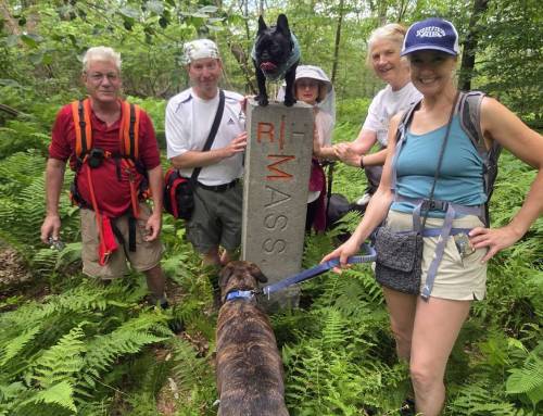
The Lenox Richmond boundary stone.
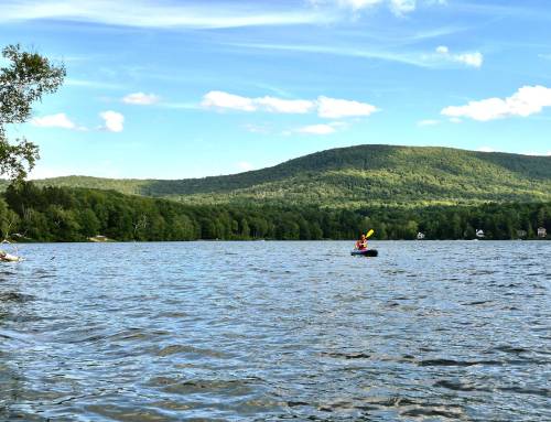
Continuing our journey on the High Road Trail in Lenox. We parked at Reservoir Road where the trail crosses with the choice of going North or South. This section is Dunbar Road, relatively flat heading North where you can find some cellar holes and large old growth trees. We headed for Richmond and Lenox Mountain. It is 1.8 miles one way to the Richmond Tower from here. A 1854 map shows Daniel Dunbar owned a farm on Dunbar Road at the intersection with Reservoir Road. The site on the corner was owned by Moses Dunbar Cook, Daniel’s cousin. Maps and historical info provided by Tom Hoffman. We were here also in the winter on snowshoes!
#hikethehilltownhistory
#hikethehilltowns with the #westernmasshilltownhikers #discoverthehilltowns #visitthehills #hilltownhistory #flashhike #intheberkshires #nature #adventure #history #hiking #outdooradventures #visittheberkshires #mylocalMA #visitma #hilltownhikers #westernmass
Visit our blog for all of our adventures! We are on Instagram TikTok Pinterest Twitter YouTube Meetup @hilltownhikers want to come along on these hikes?
become a member at www.hilltownhikers.com and get notified of all the hikes every Friday, Saturday and Sunday year round!
A 501c3 Massachusetts Non-Profit Organization


Leave a Reply