
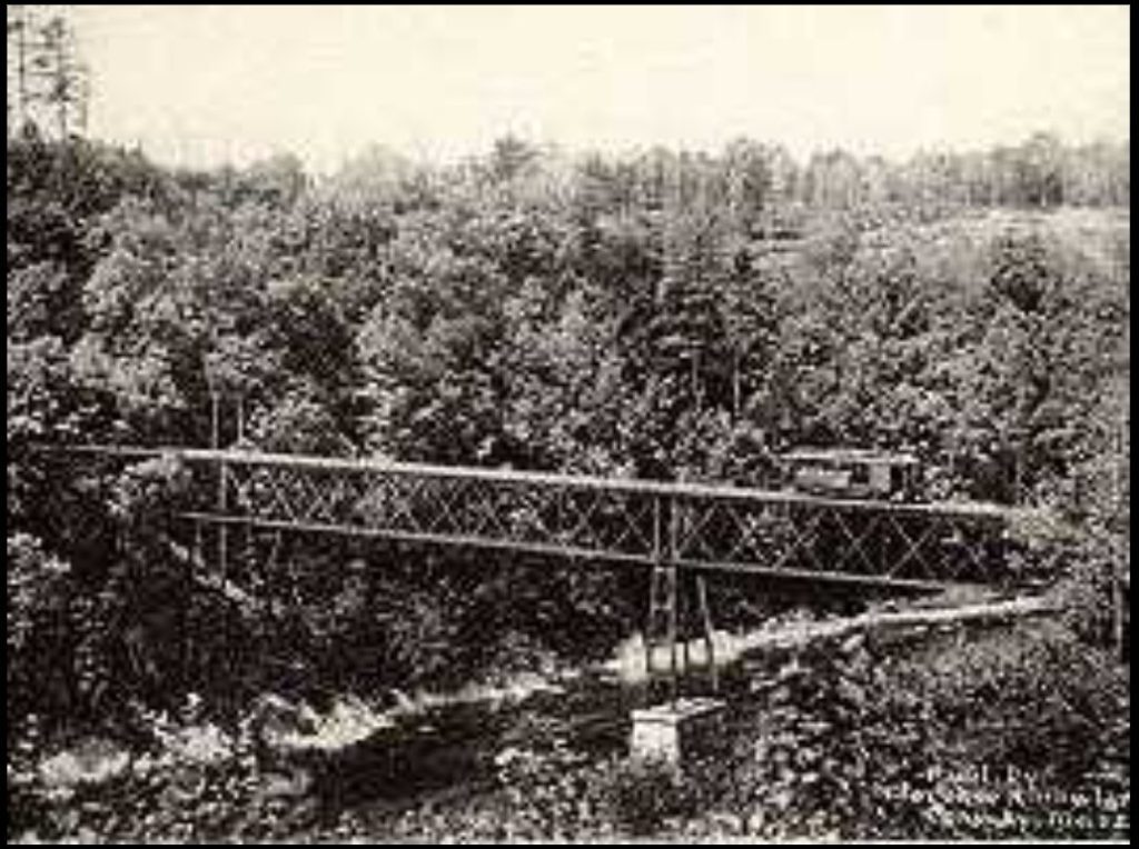
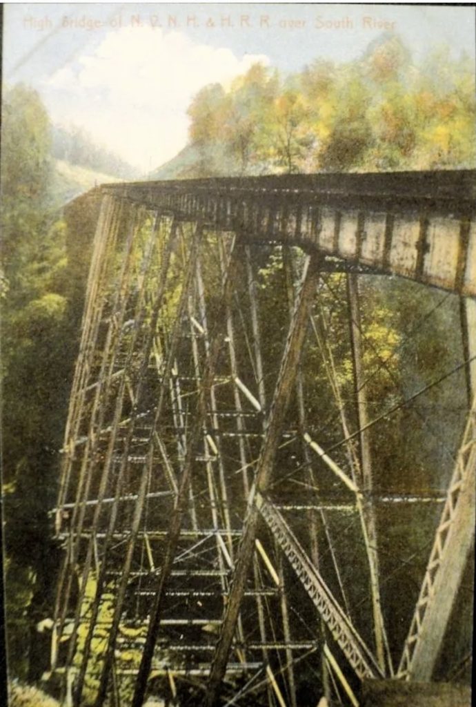
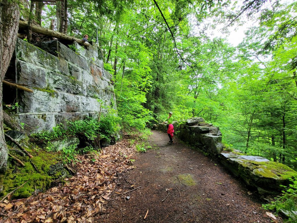
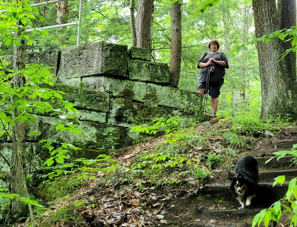
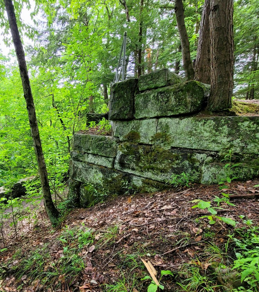
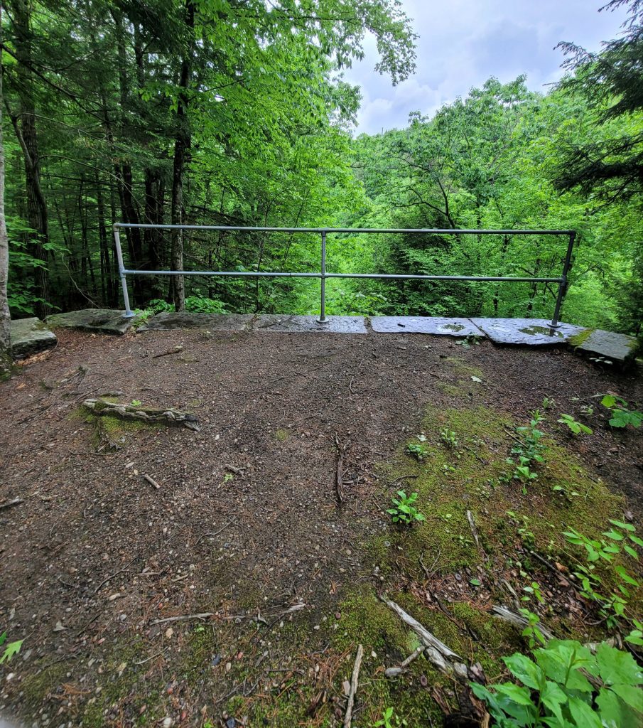
The end of Conway Station Road brings you to parking and the Mahican-Mohawk Trail. Here the bridge stone abutments can be seen, also our hike up to this point has been on the Conway Electric Street Railway. The lower track begins at Bardwell’s Ferry Road and follows the CESR route east past High Bridge and out to Low Bridge. The track from High Bridge heading north-west is the old NYNH&H RR. Conway Station would have been located somewhere between the 2 tracks. Continue on this hike to Polly’s Crossing, at this point we ran out of day, we will be back!
Learn more about Conway and check out more to see here!!


History of Conway 1767-1917, Ed. Charles Stanley Pease,Springfield Printing & Binding Co. 1917
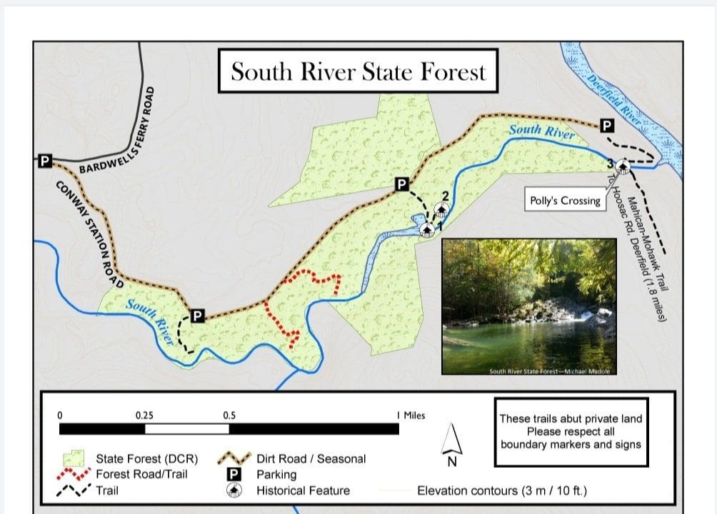
Part 2 South River State Forest….Flash Hike Saturday at Conway State Forest. Paulette showed us the trails here, grab the guide from www.townofconway.com to visit the landmarks.
#conwayma #hikethehilltownhistory
hikethehilltowns with the #westernmasshilltownhikers #discoverthehilltowns #visitthehills #hilltownhistory #flashhike #intheberkshires #nature #adventure #history #hiking #outdooradventures
Visit our blog for all of our adventures! We are on Instagram TikTok Pinterest Twitter YouTube Meetup @hilltownhikers www.hilltownhikers.com
A 501c3 Massachusetts Non-Profit Organization Donate here on Square https://hilltownhikers.square.site/


Leave a Reply