
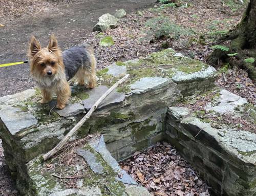
Sundays hike from New State Road starting at the parking just past the bridge, we hiked back out on the road over the bridge where the trailhead is on the left. Two trails, one on the left is Tannery Trail, on the right Tannery Road (has a jersey barrier block on it but no sign) taking Tannery Road we hiked in past Lewis Hill at about 1.2 miles the road turns left and downhill here is an unmarked intersection, the unmarked trail to your right dips down, this is the trail to Balance Rock a boulder left from the glaciers propped up and balanced at its core amazingly stuck here amidst the forest. Take a stream crossing at a washed out bridge and go uphill past Ross Brook Trail on your left and Balance Rock Trail on your right but continue straight, around the bend will be the rock. No signage directing you to it, use a printed map and your GPS! Just 3 miles in and back.


Saturday and Sunday’s Flash Hike adventure took us to Savoy Mountain State Forest. We relied heavily on our GPS here, being it zero cell service and a huge amount of trails and forest! Fall foliage has already begun here so we came to get a feel of the area for the first time, we were very impressed! Dirt roads are the only way to navigate to each parking spot on the State Forest Map. Our GAIA GPS app showed all the trails here with names which basically was the only way we could find our way around here so it’s highly recommended.
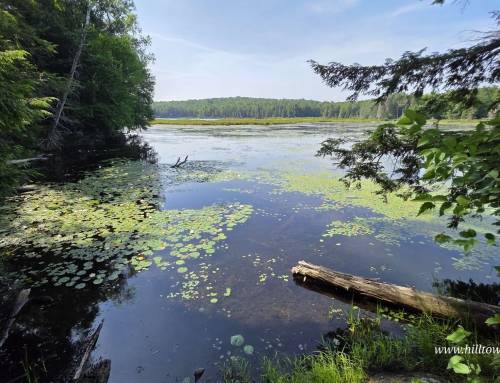
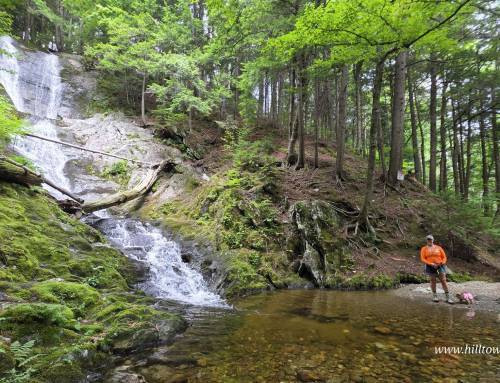
Savoy Mountain is the home to over 50 miles of wooded hiking trails, as well as North Pond (sandy beach with restrooms), South Pond (year-round camp and cabin rentals available), Bog Pond with floating bog islands and Tannery Falls, a 100 foot waterfall.
Visit our blog for all of our adventures! We are on Instagram TikTok Pinterest Twitter YouTube Meetup @hilltownhikers want to come along on these hikes? Become a member at www.hilltownhikers.com


Leave a Reply