
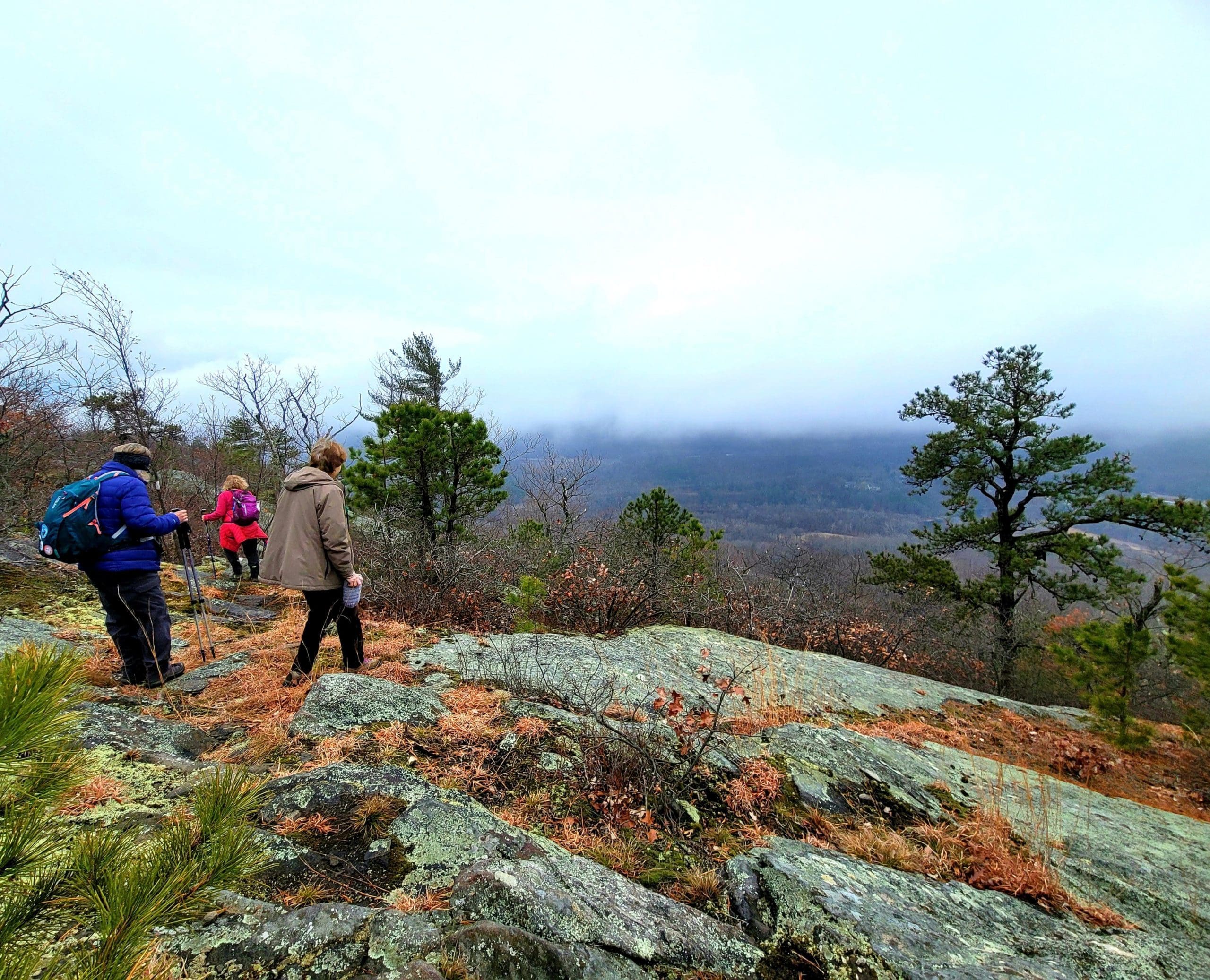
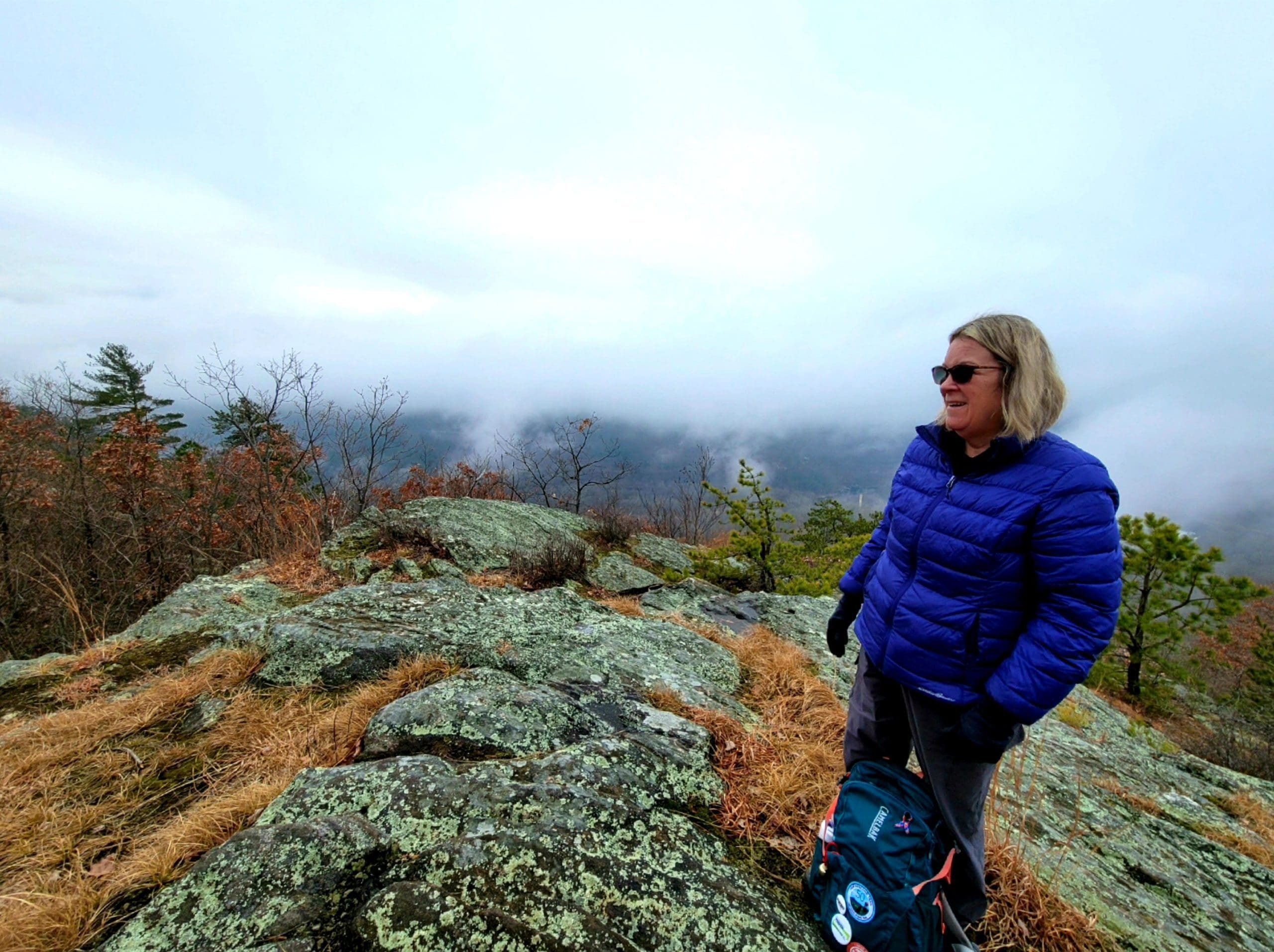
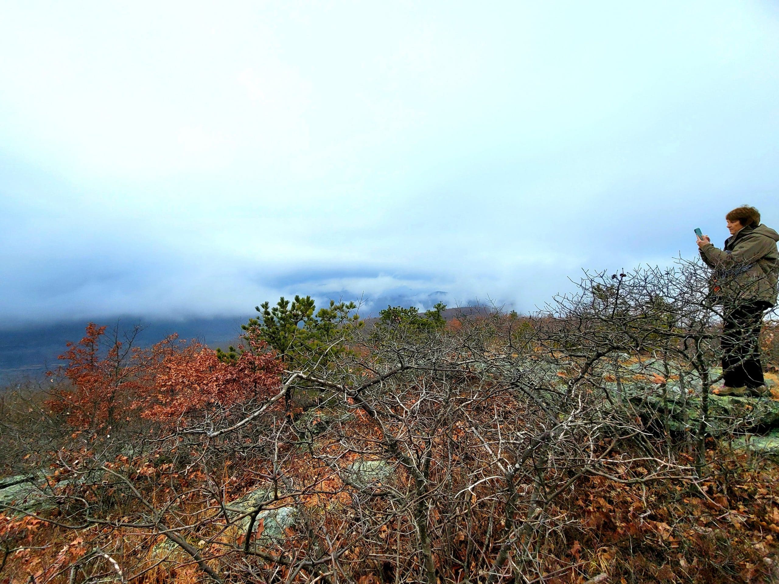
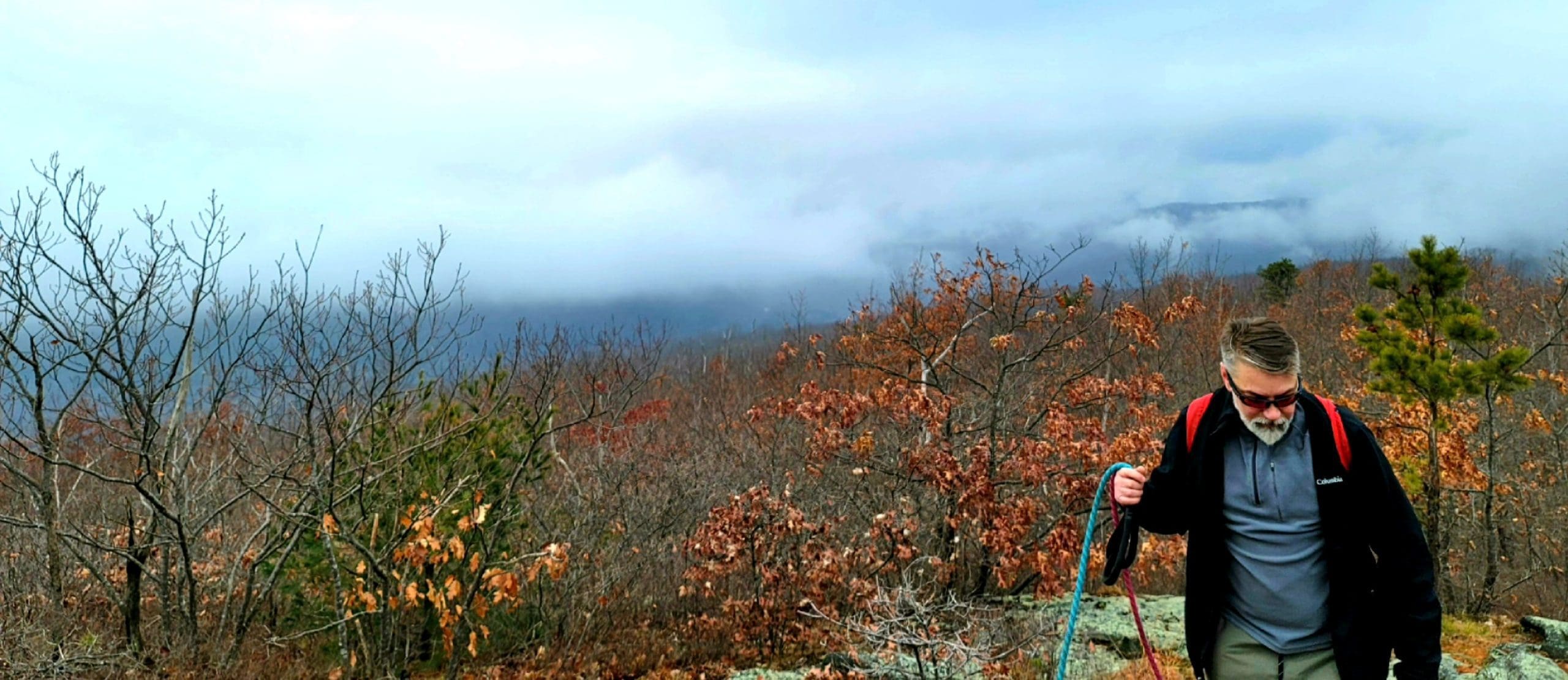
This past weekend we welcomed warm January weather but along with it came some dense fog! On Friday, the last day of year, we climbed Mount Tekoa in Montgomery.
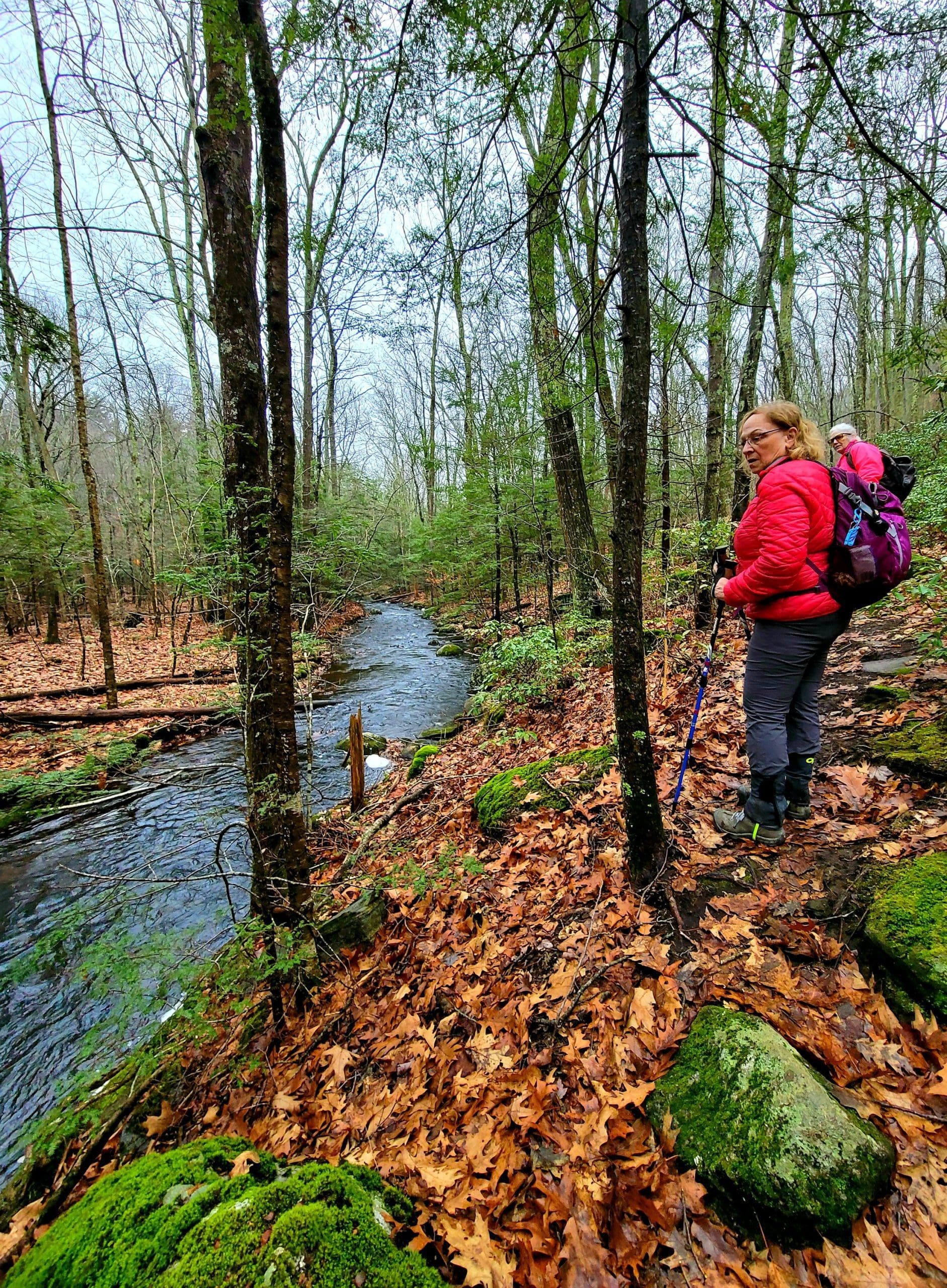
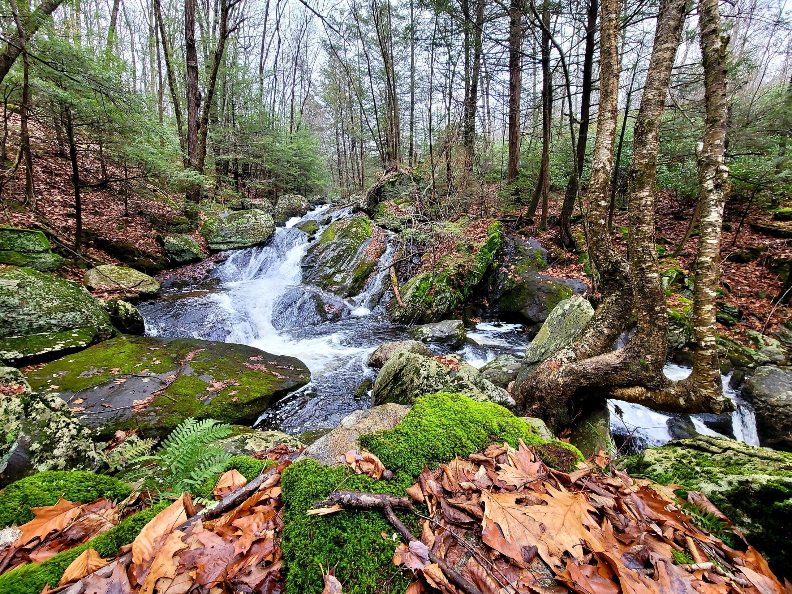
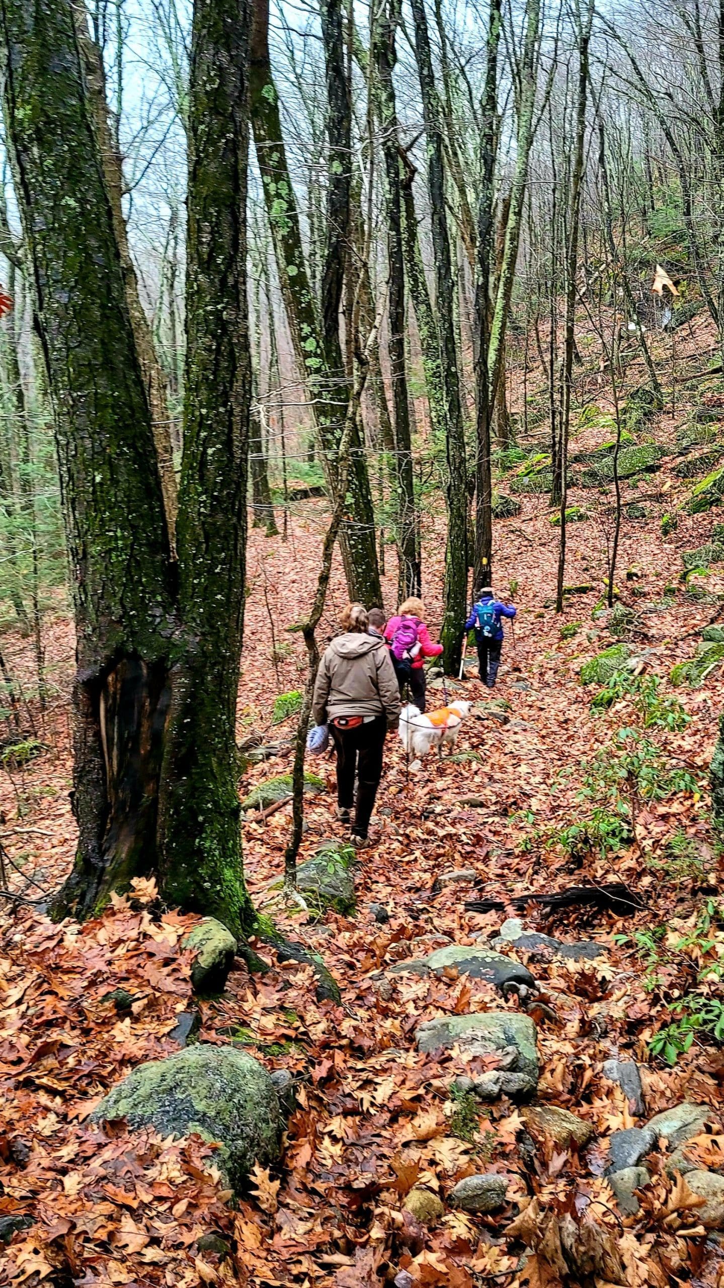
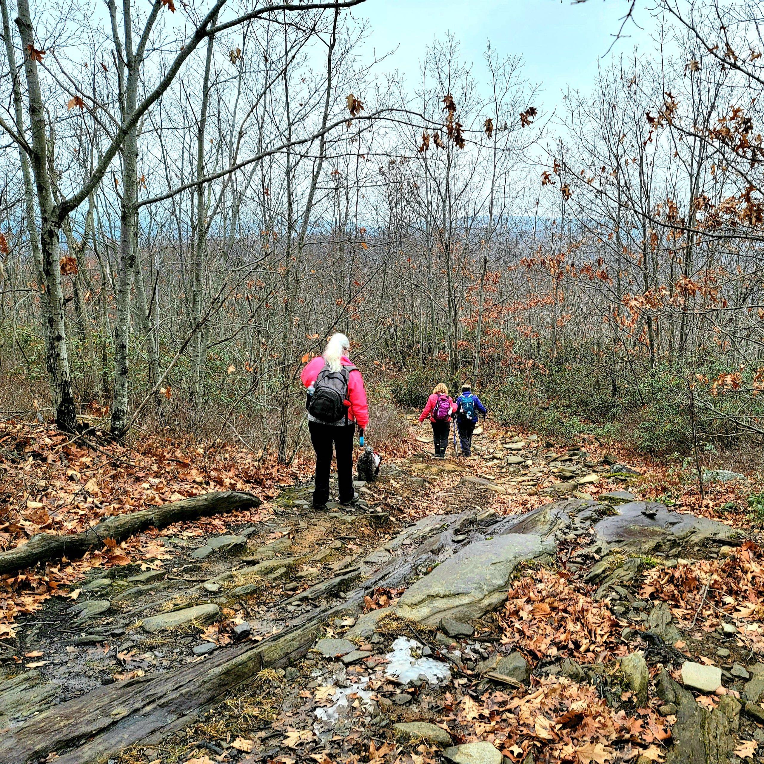
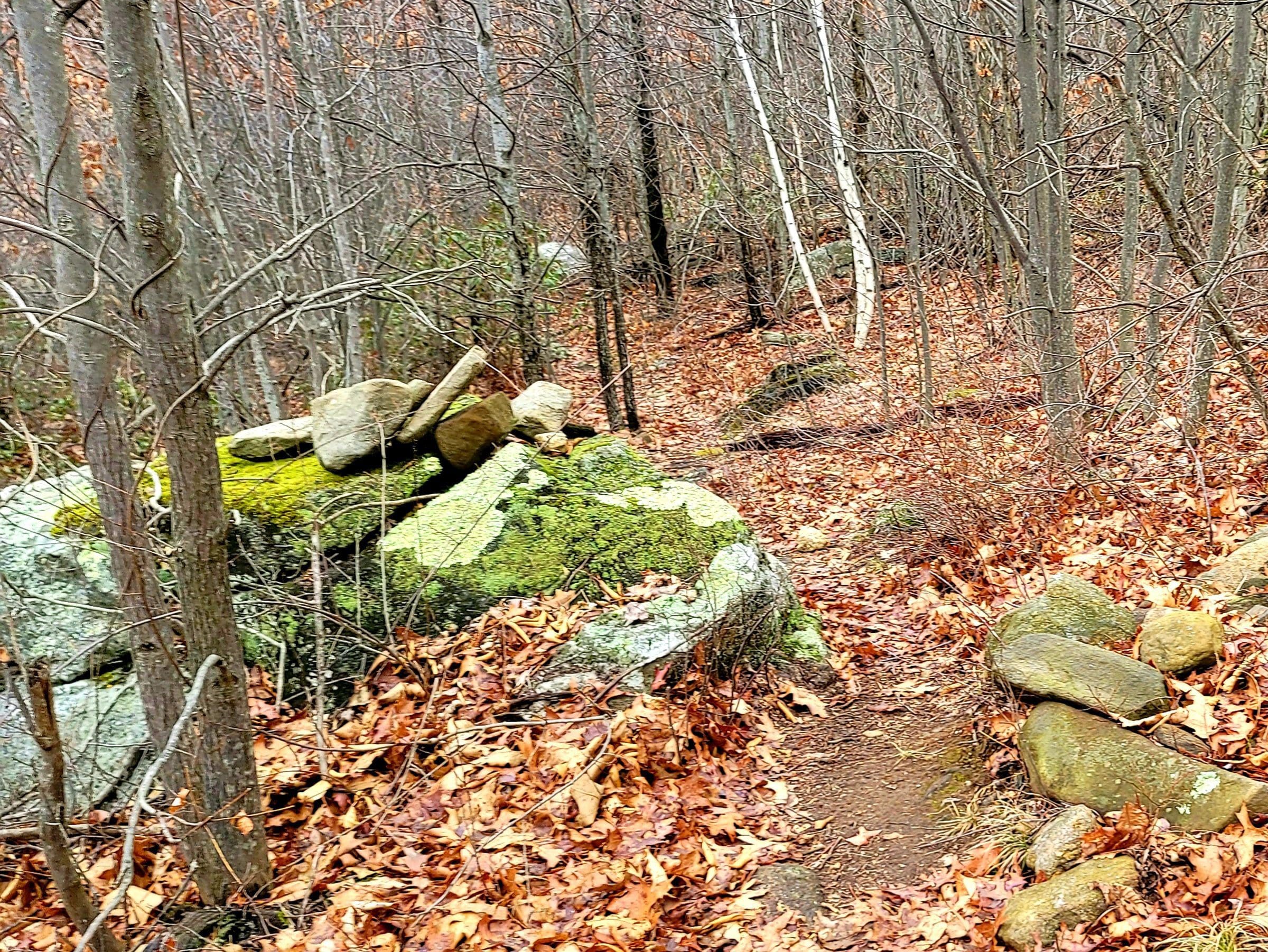
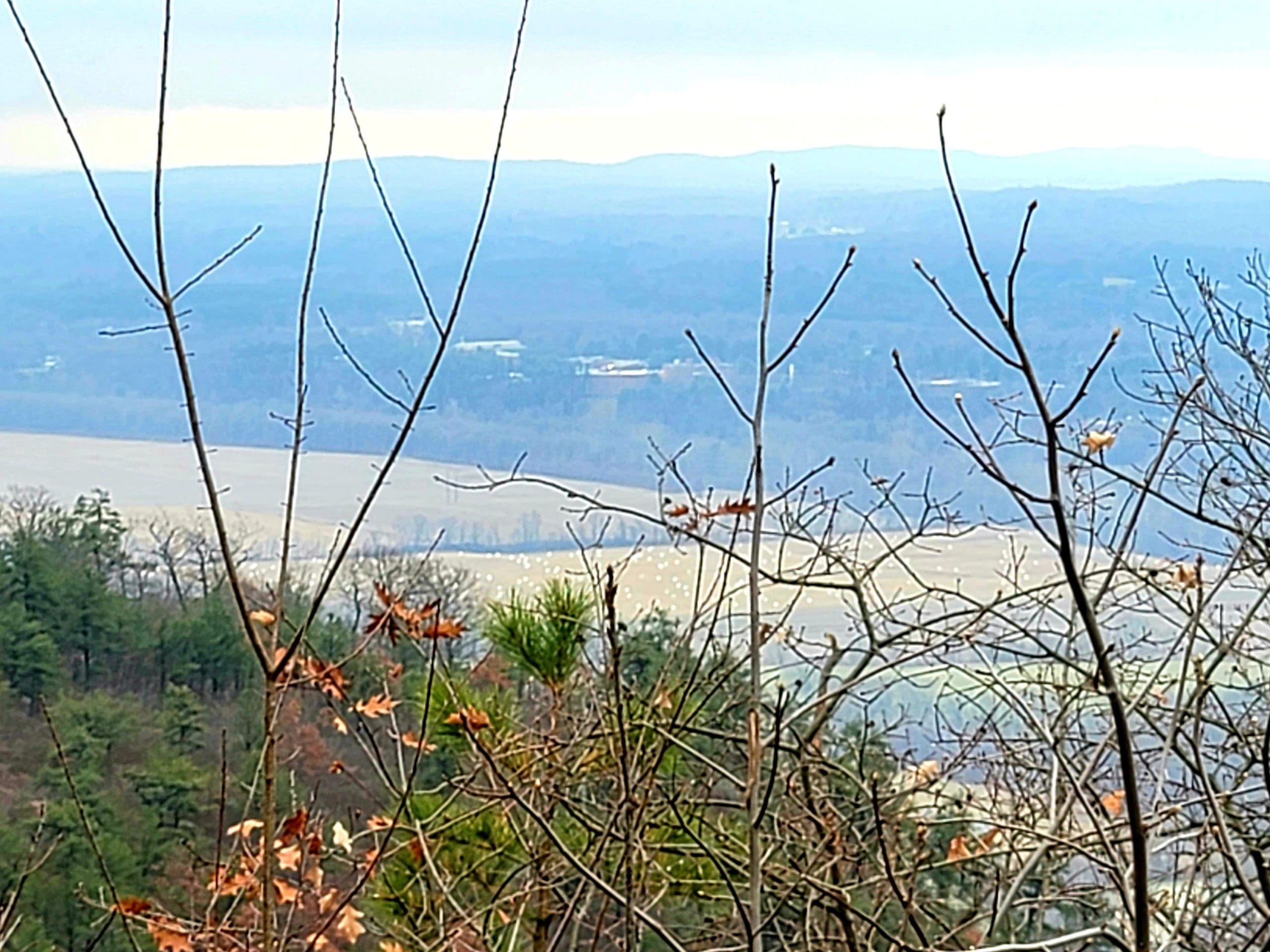
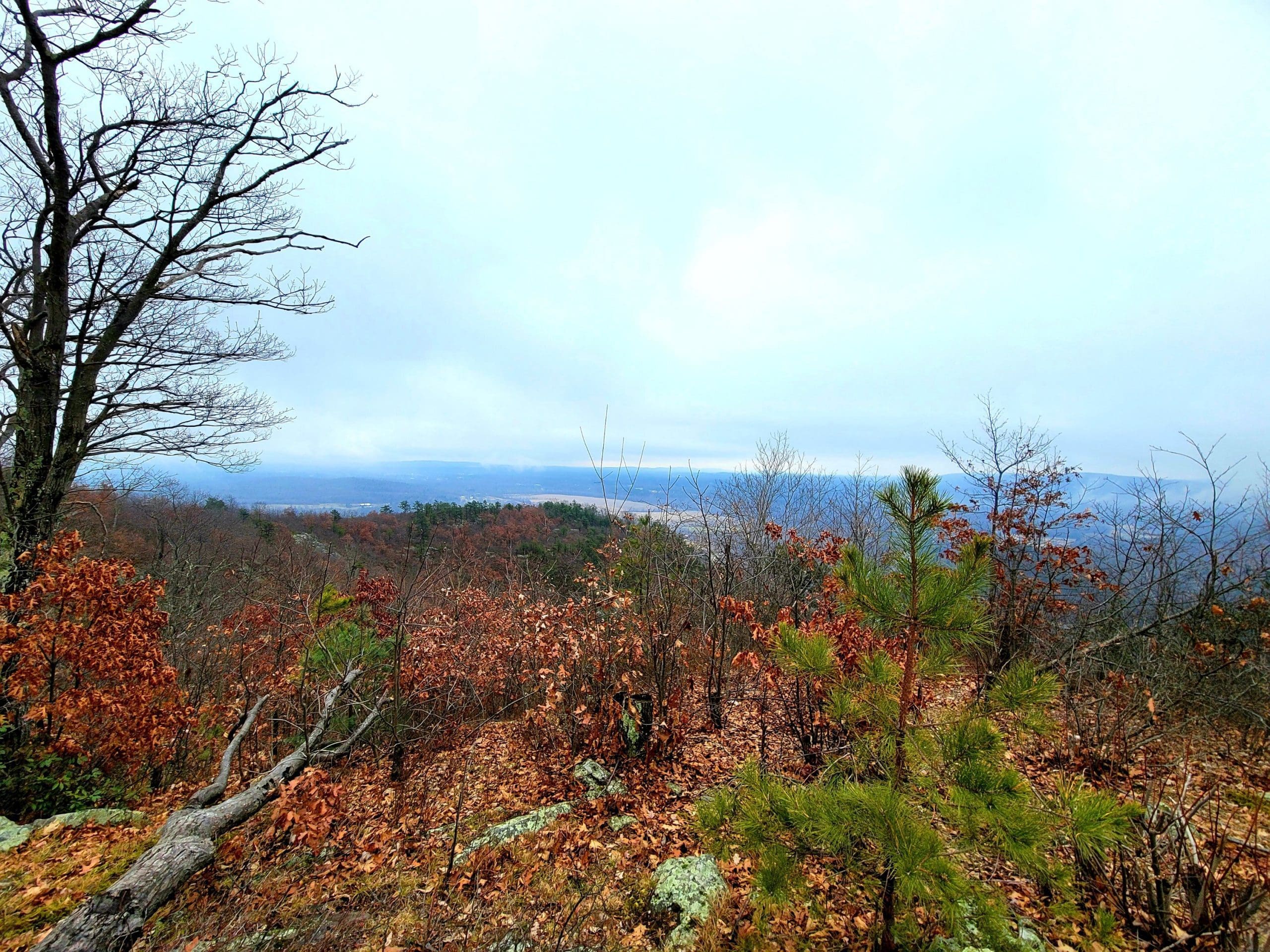
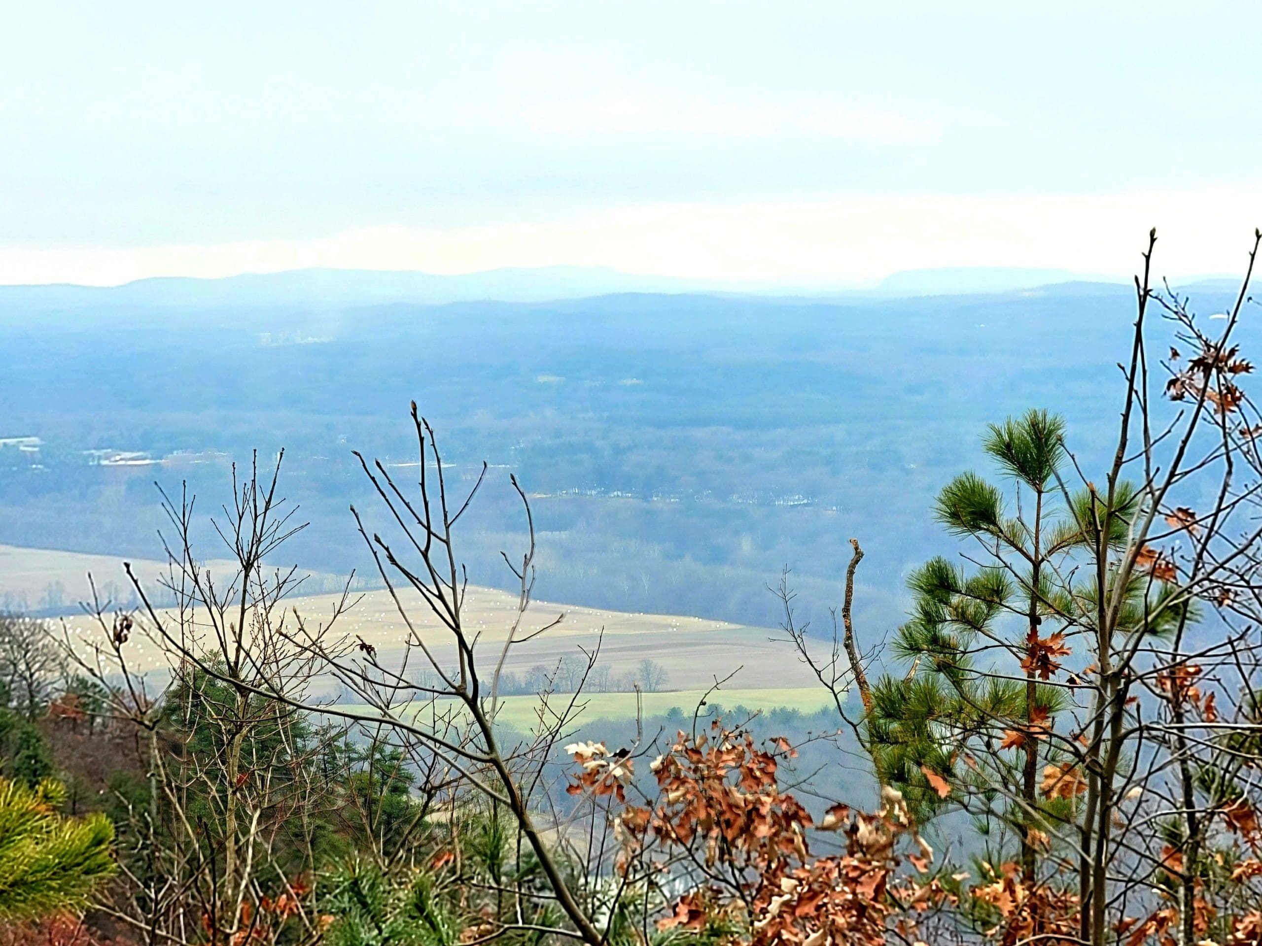
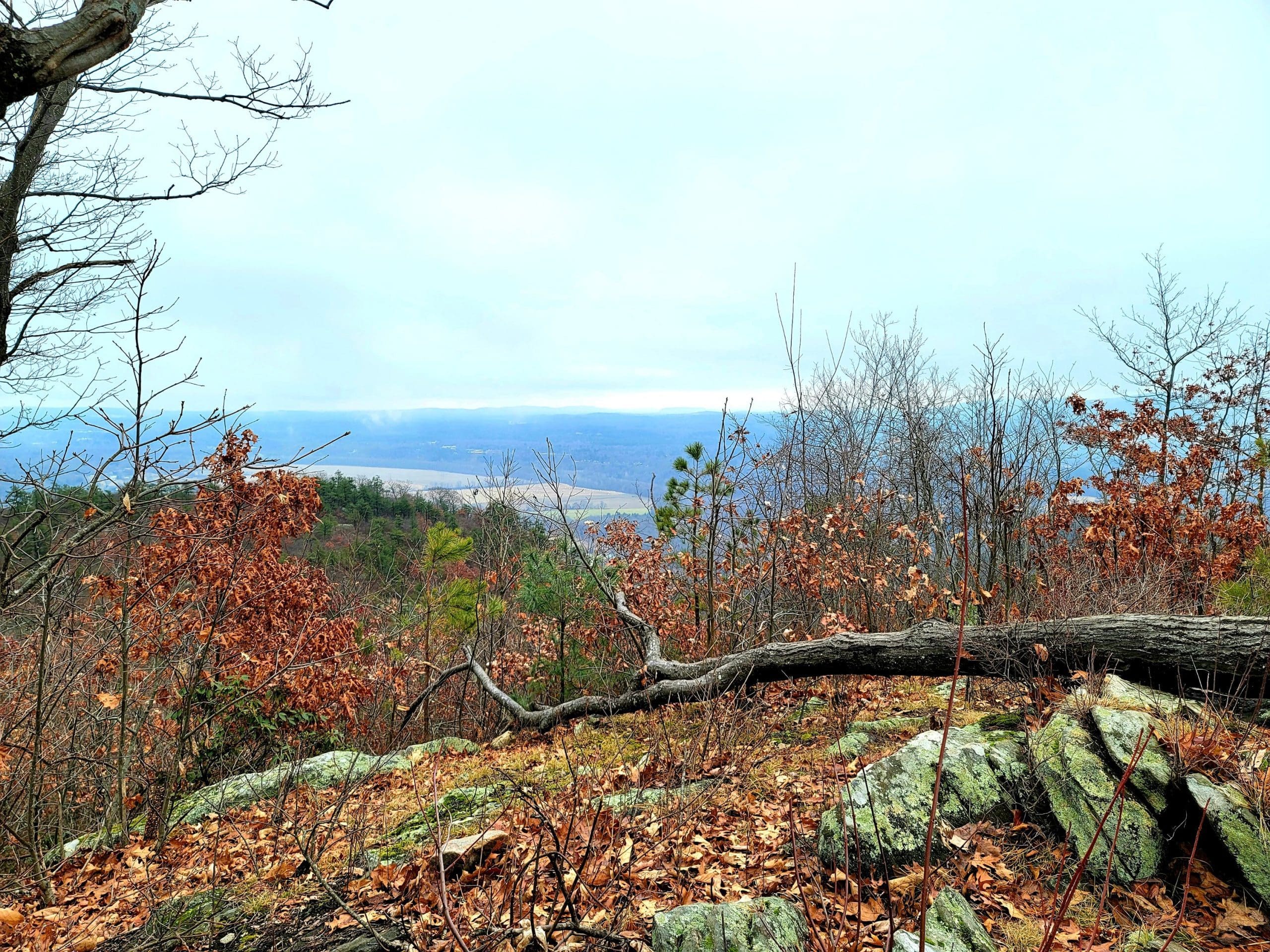
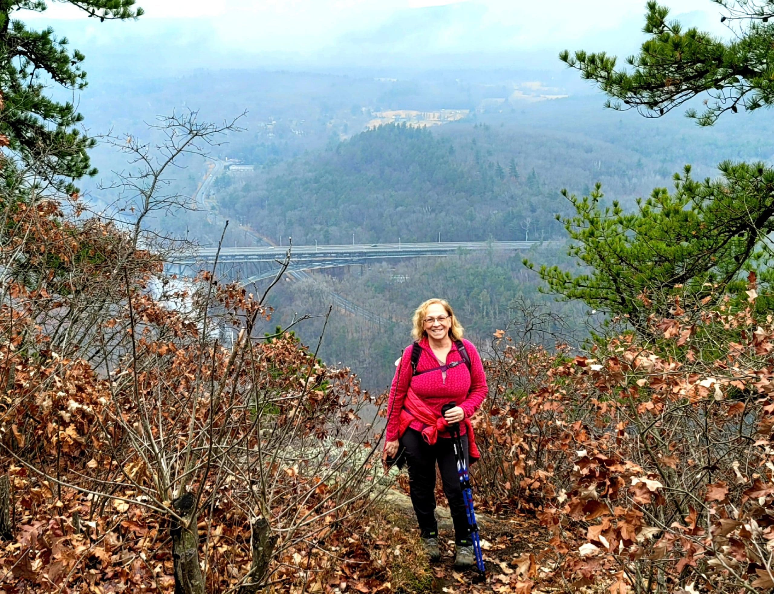
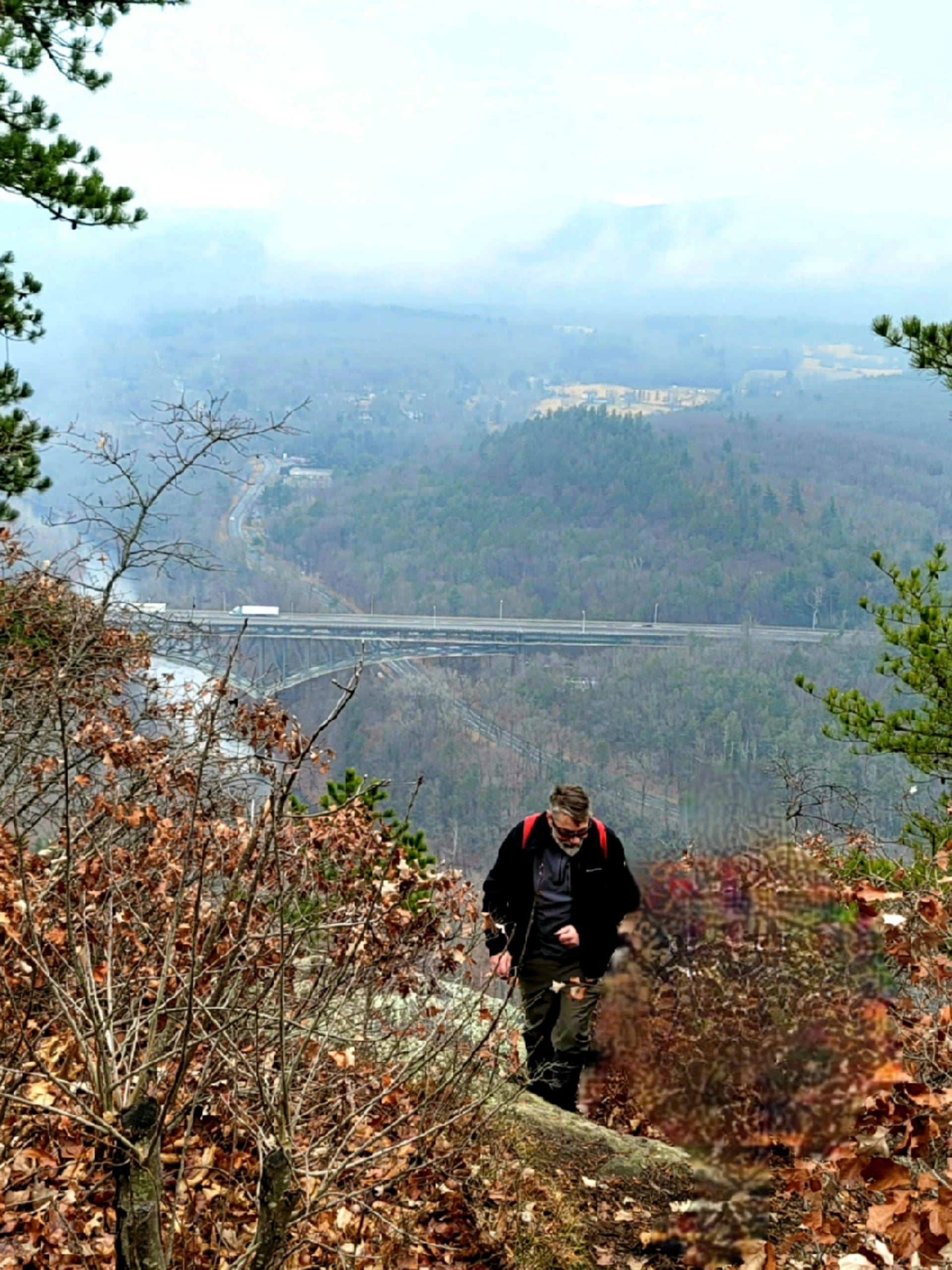
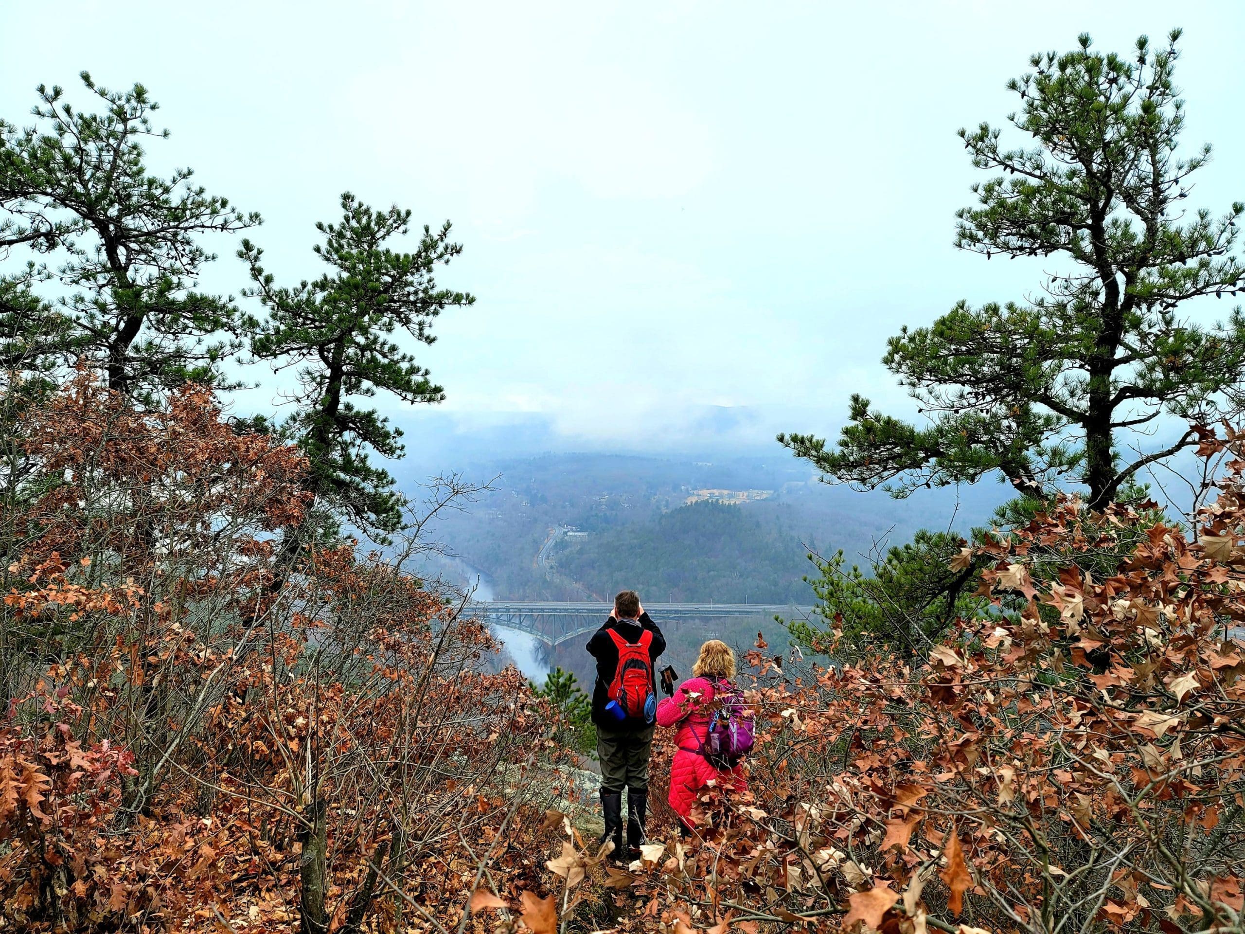
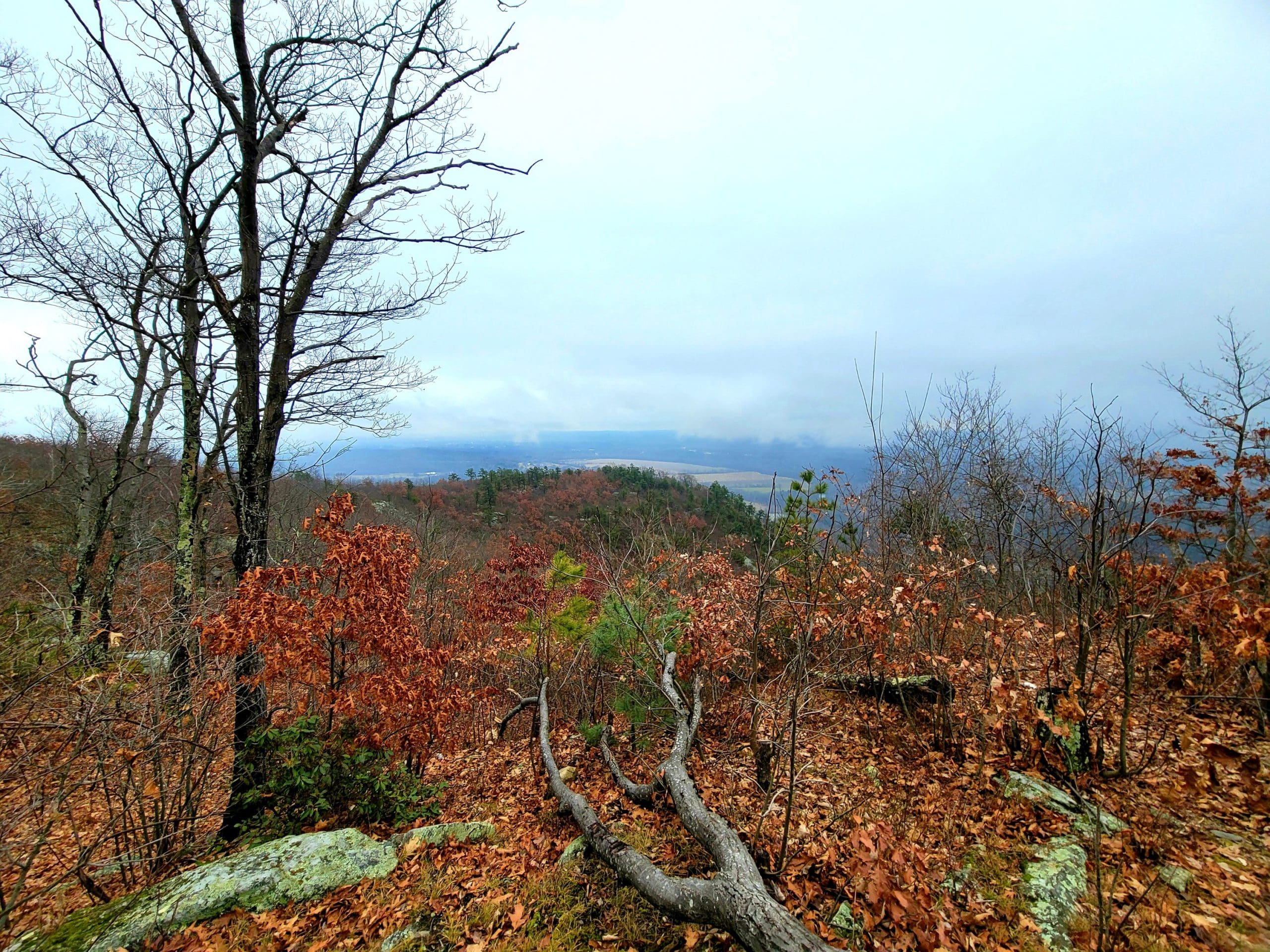
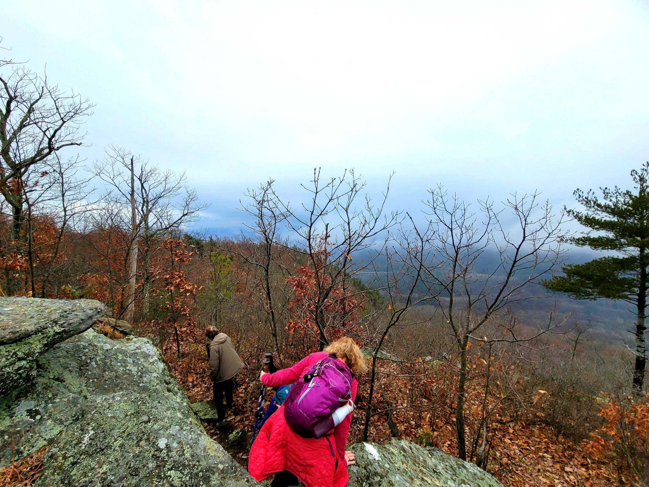
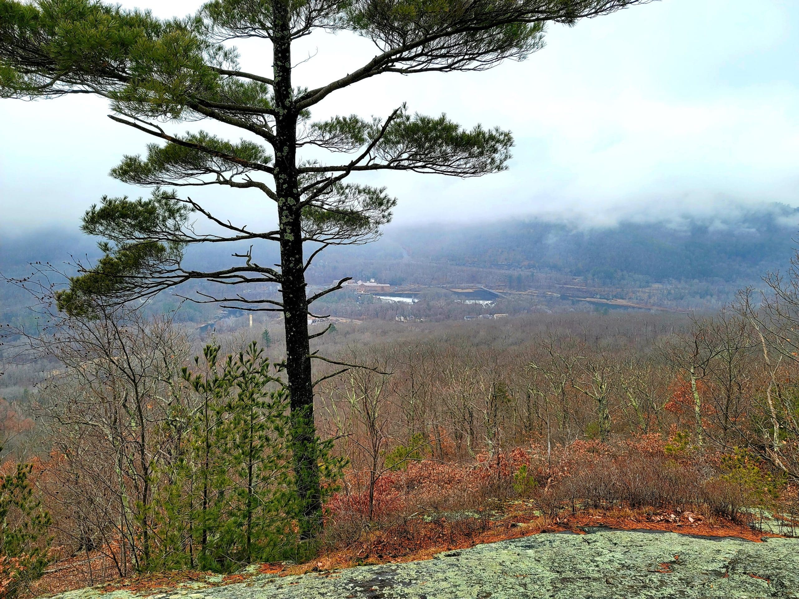
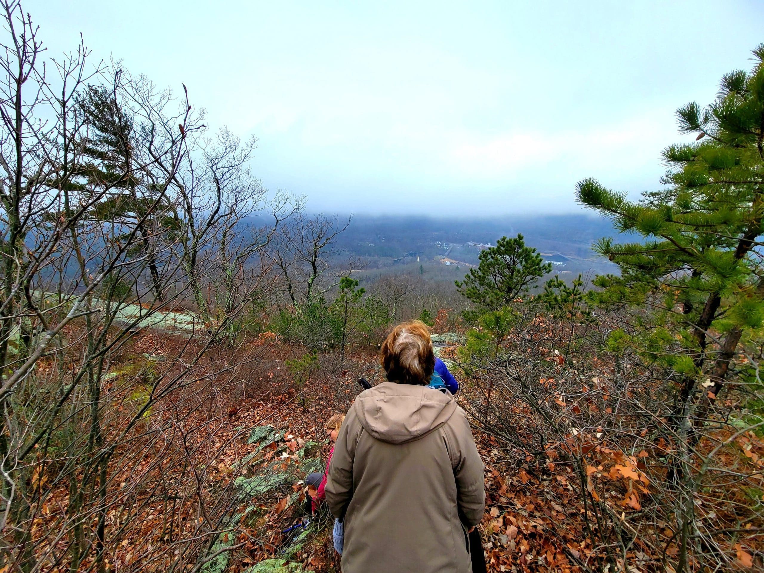
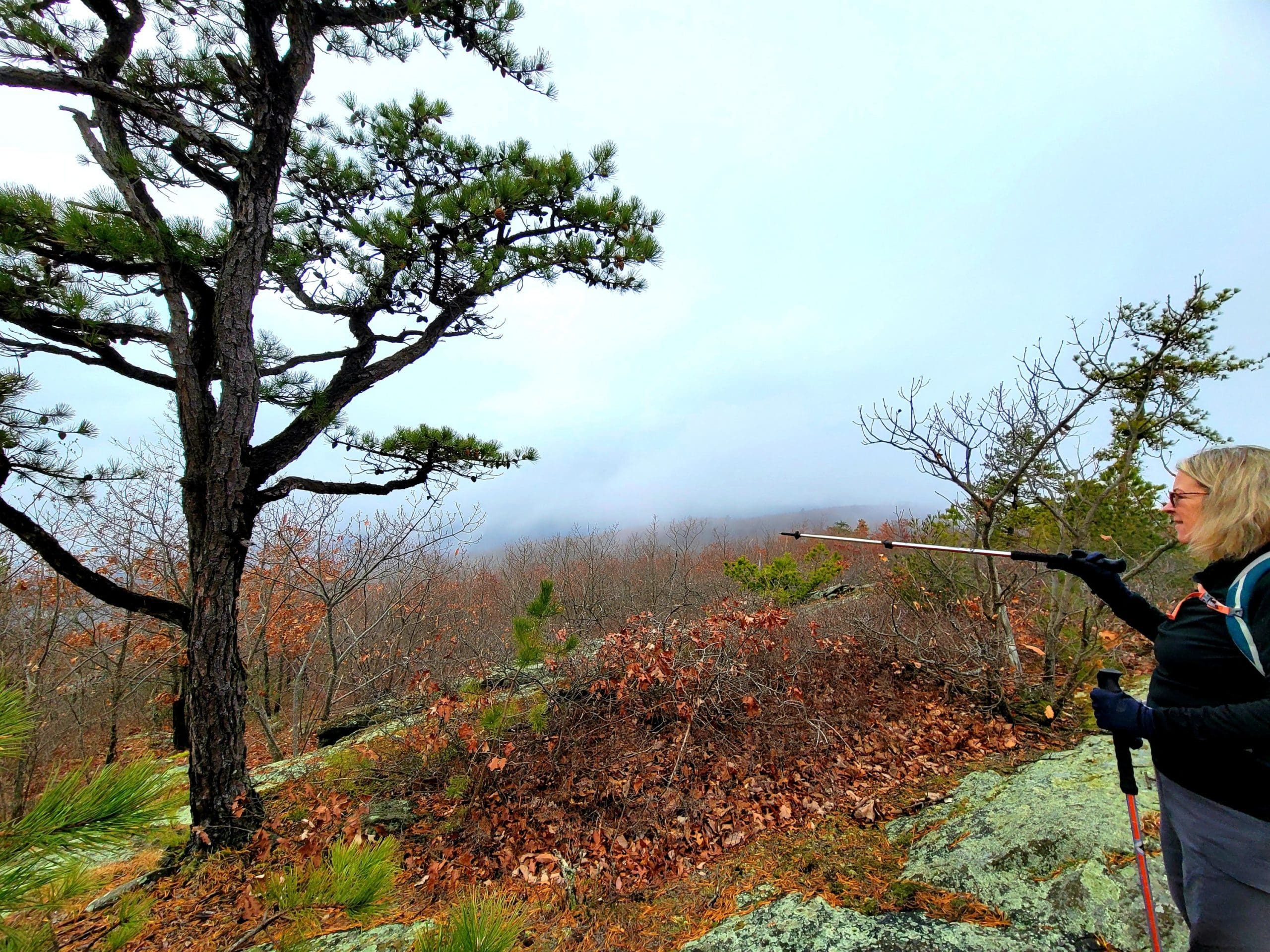
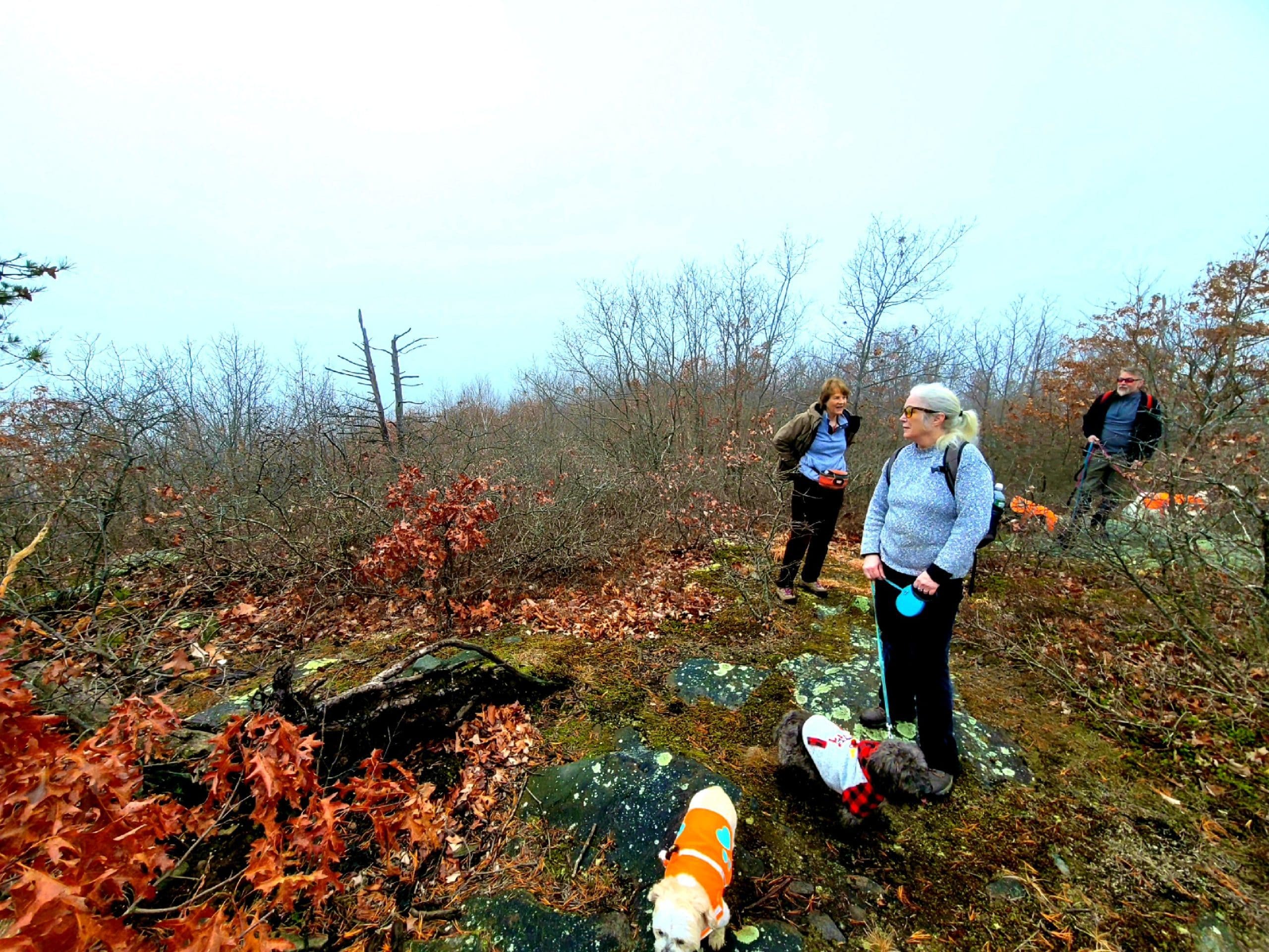
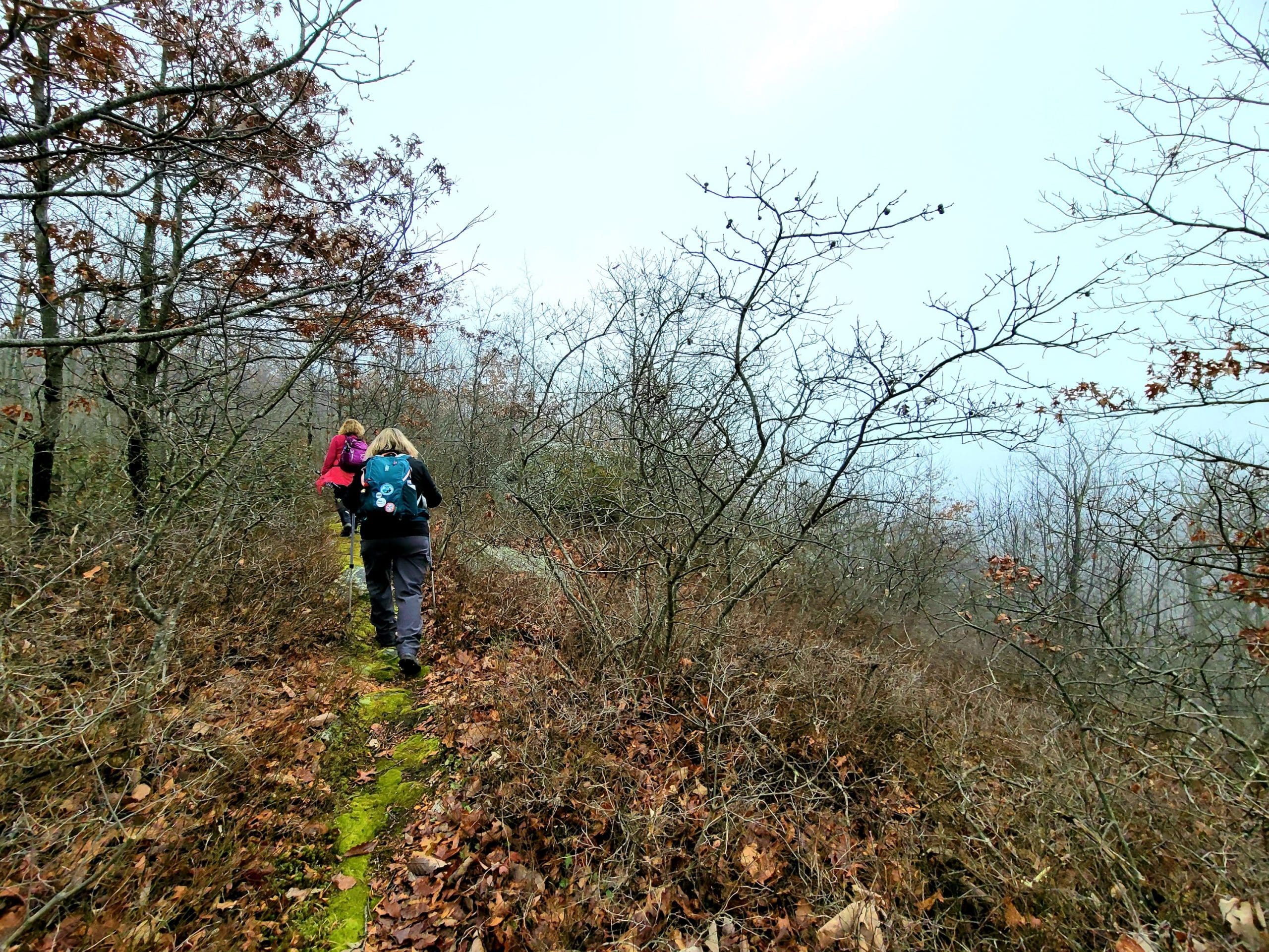
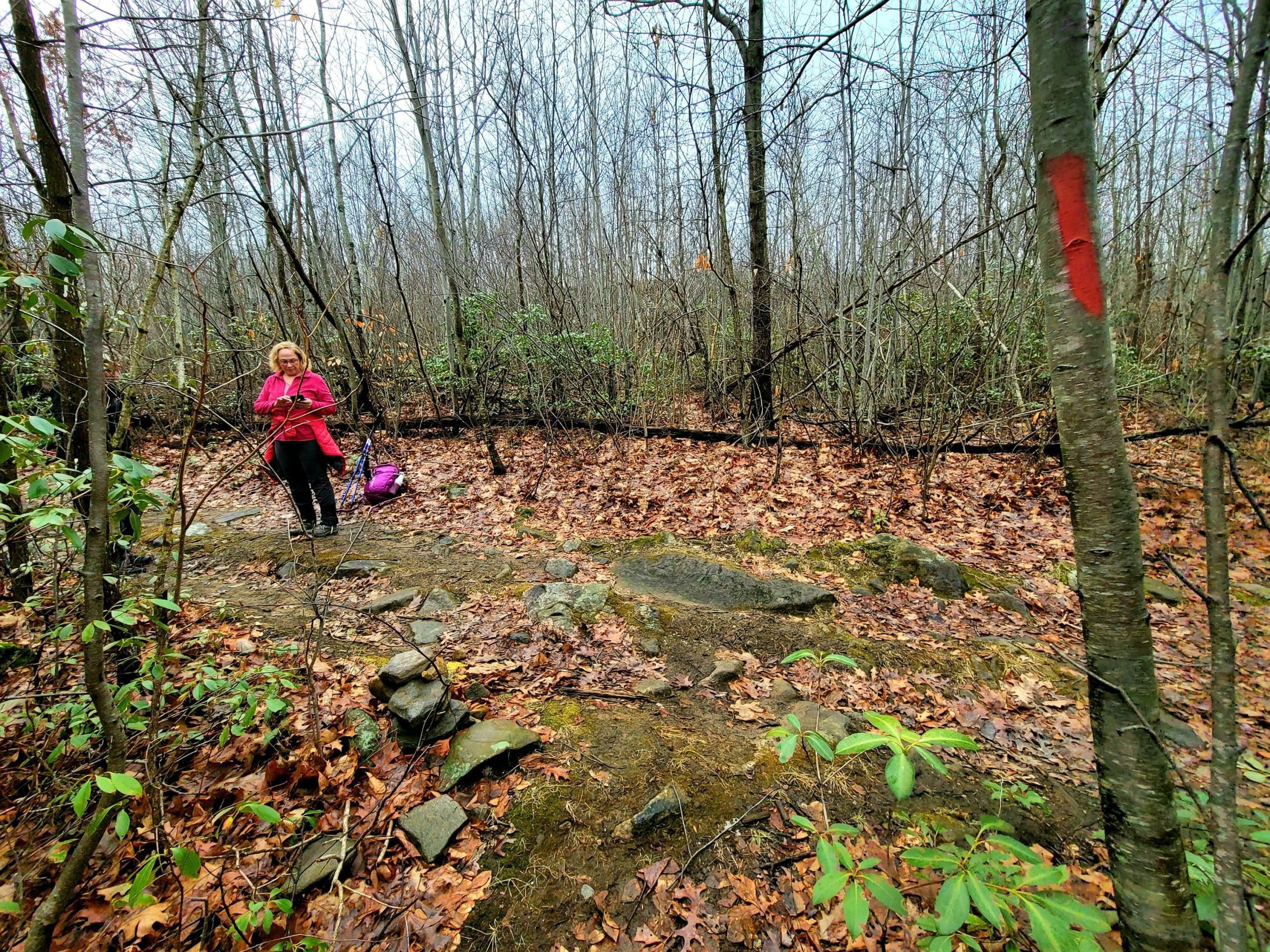
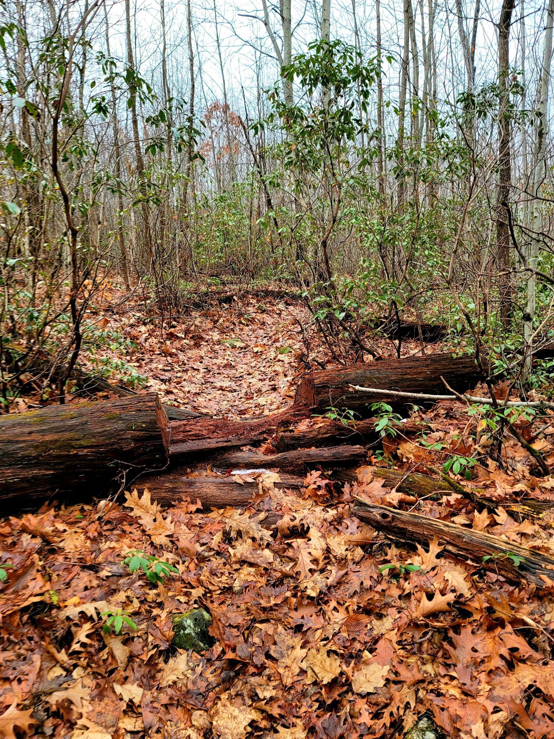
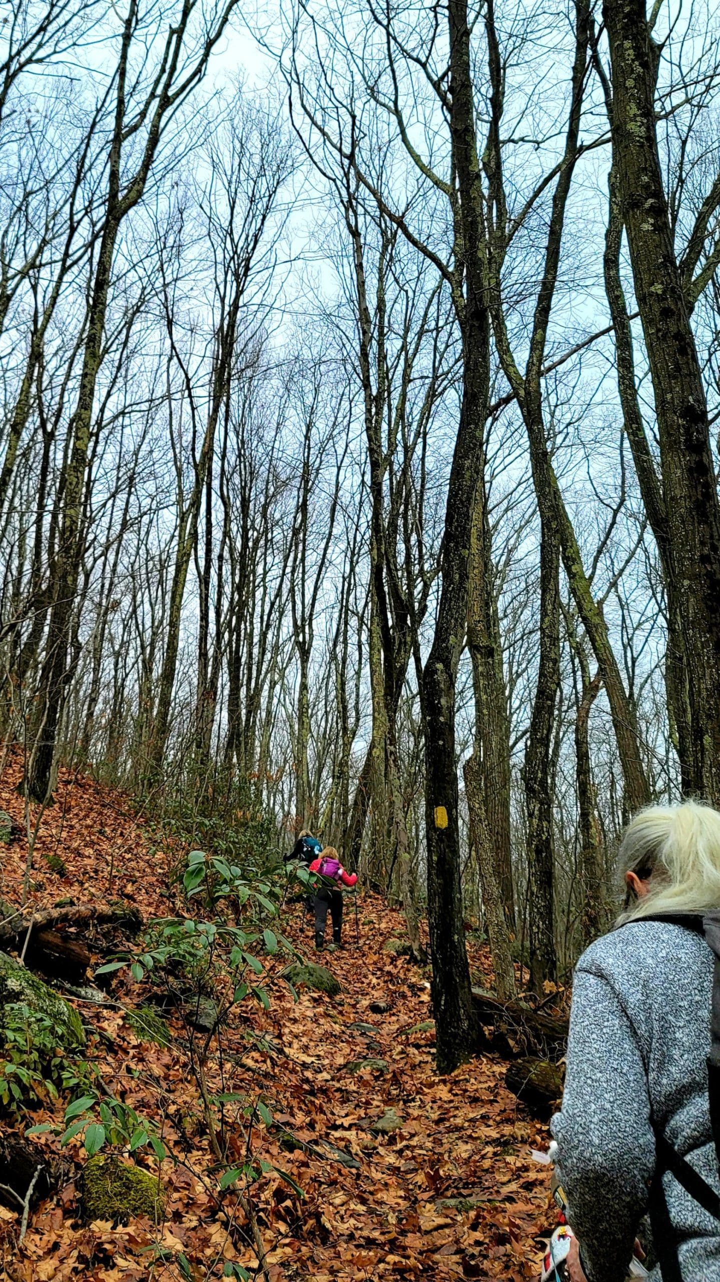
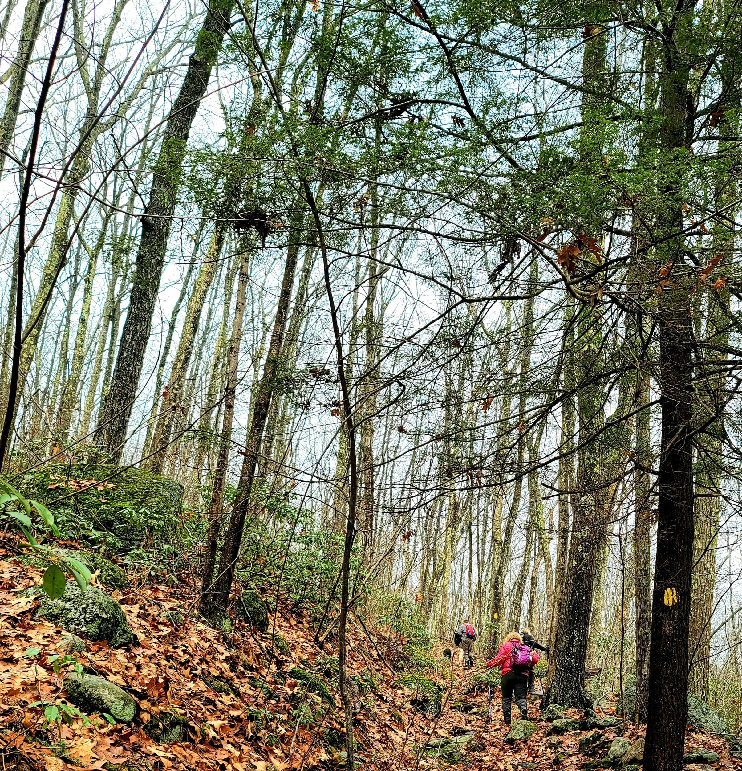
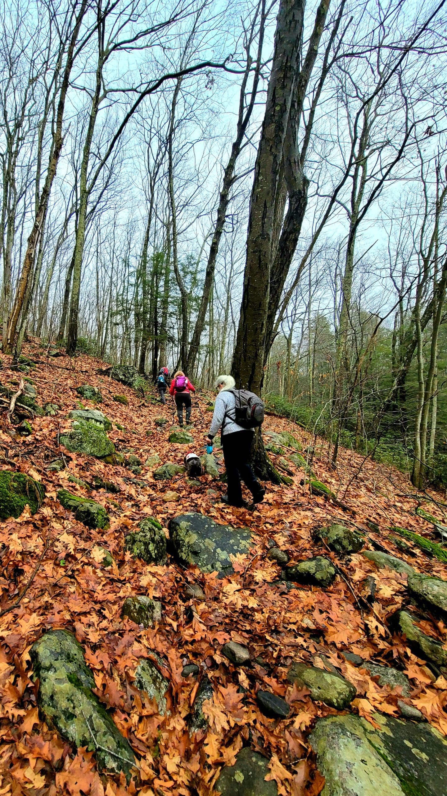
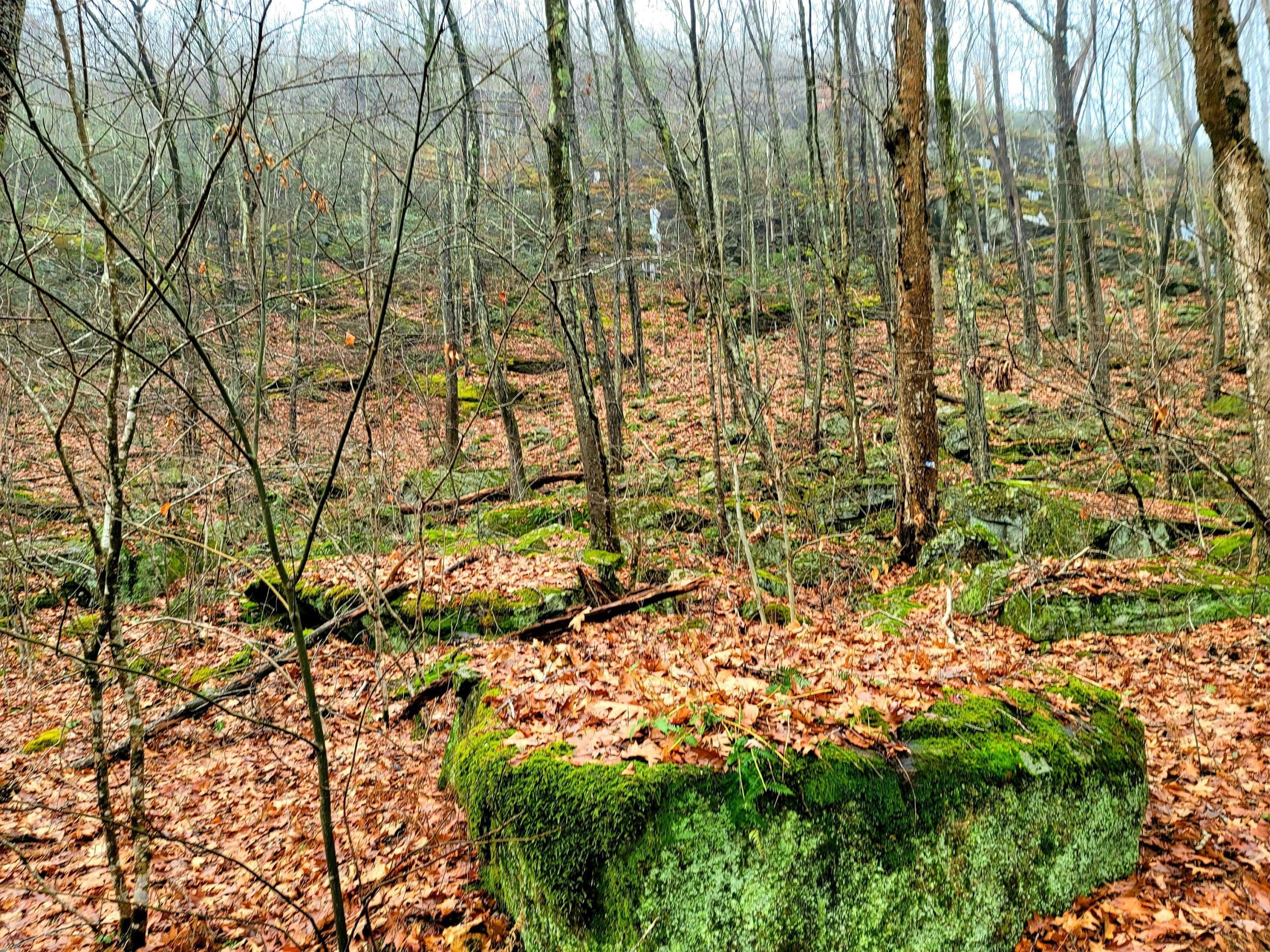
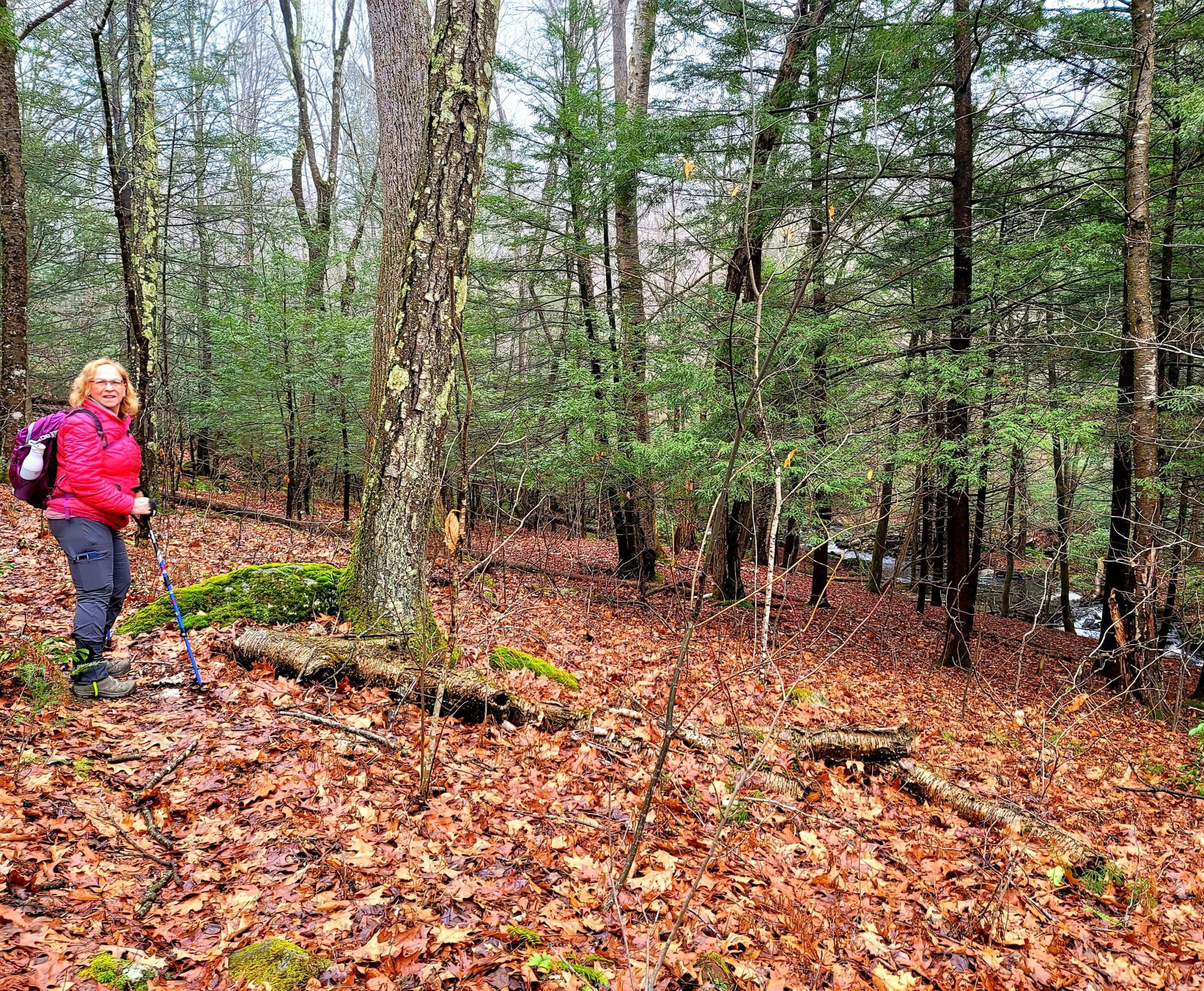
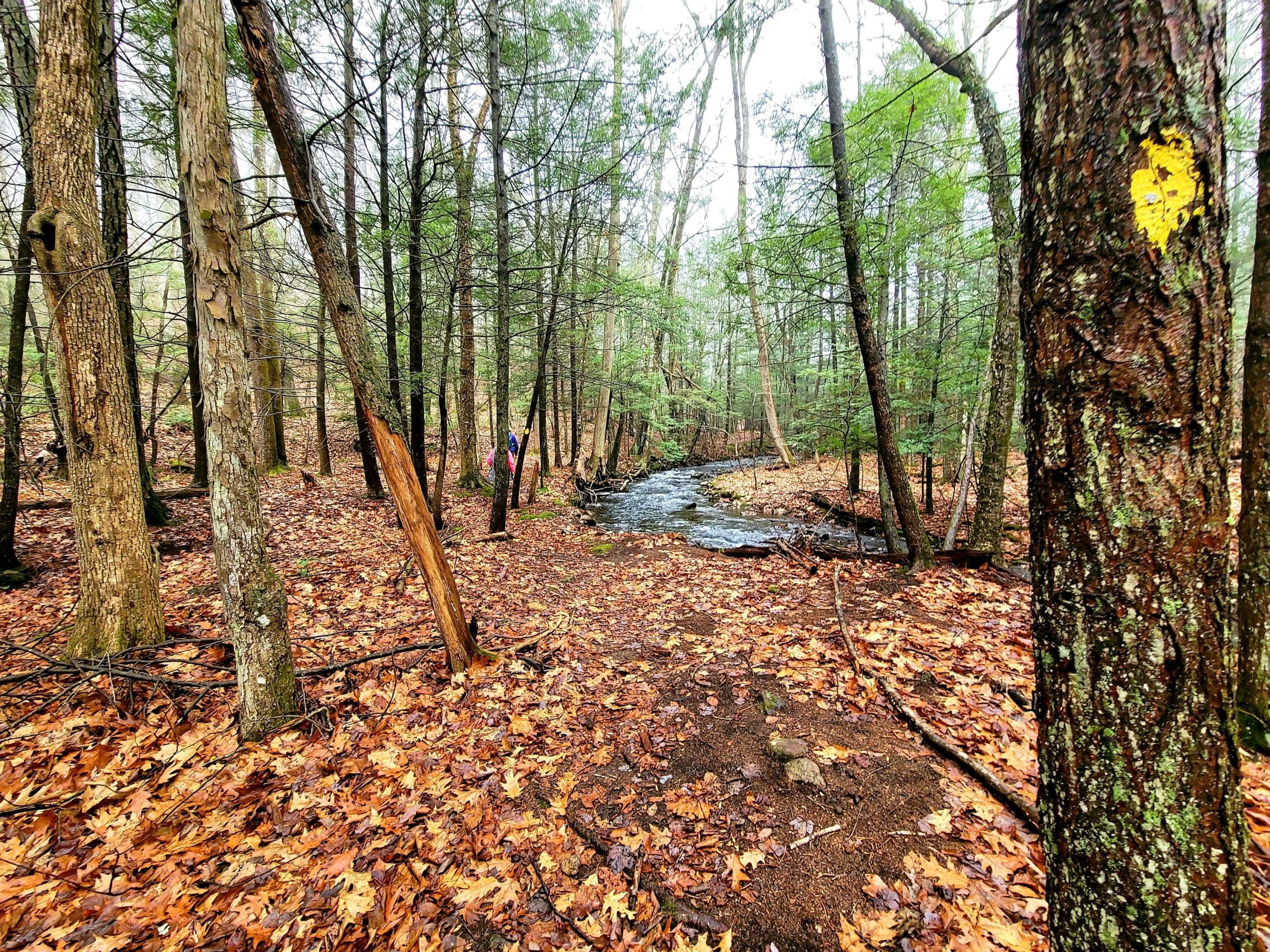
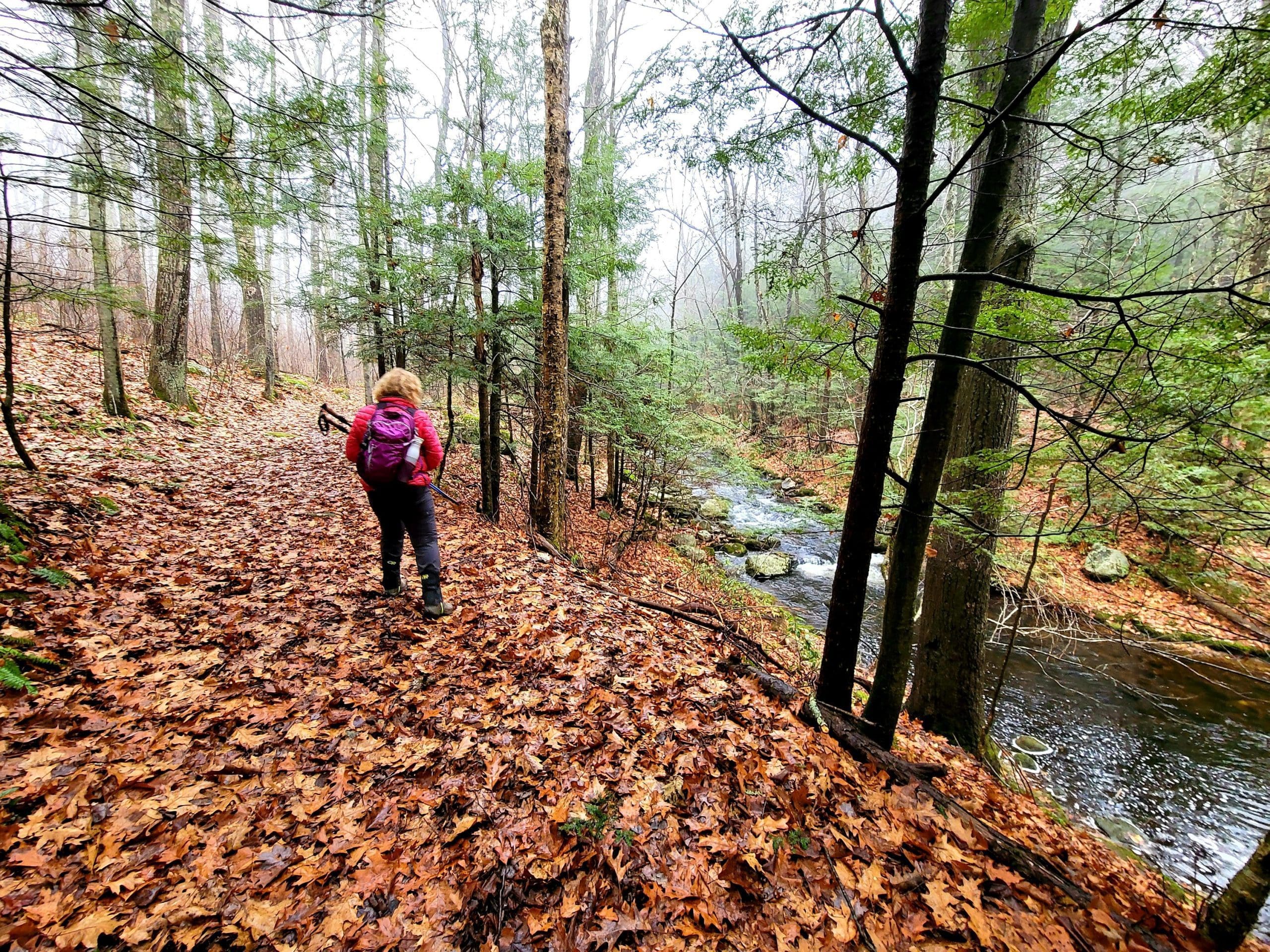
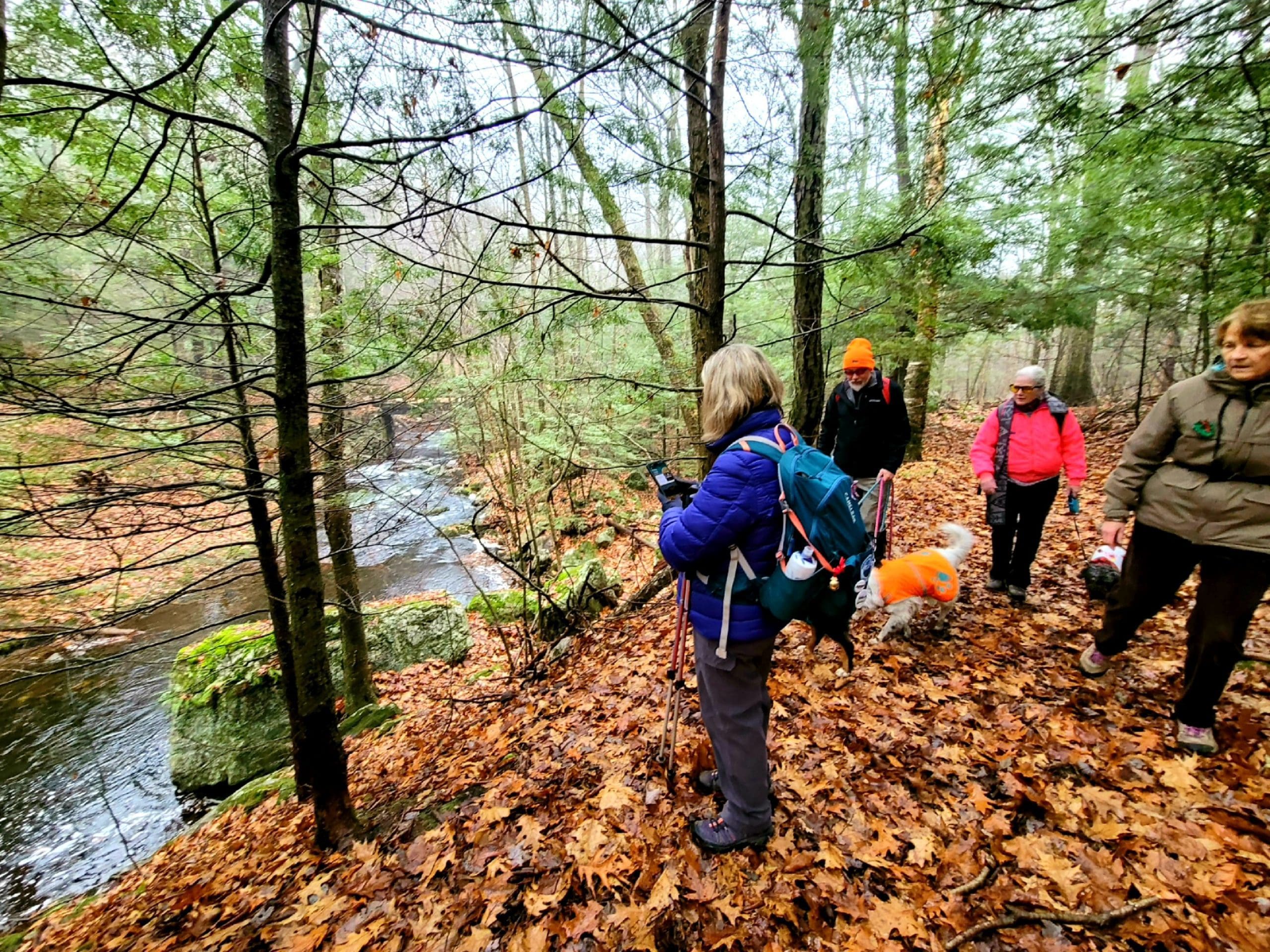
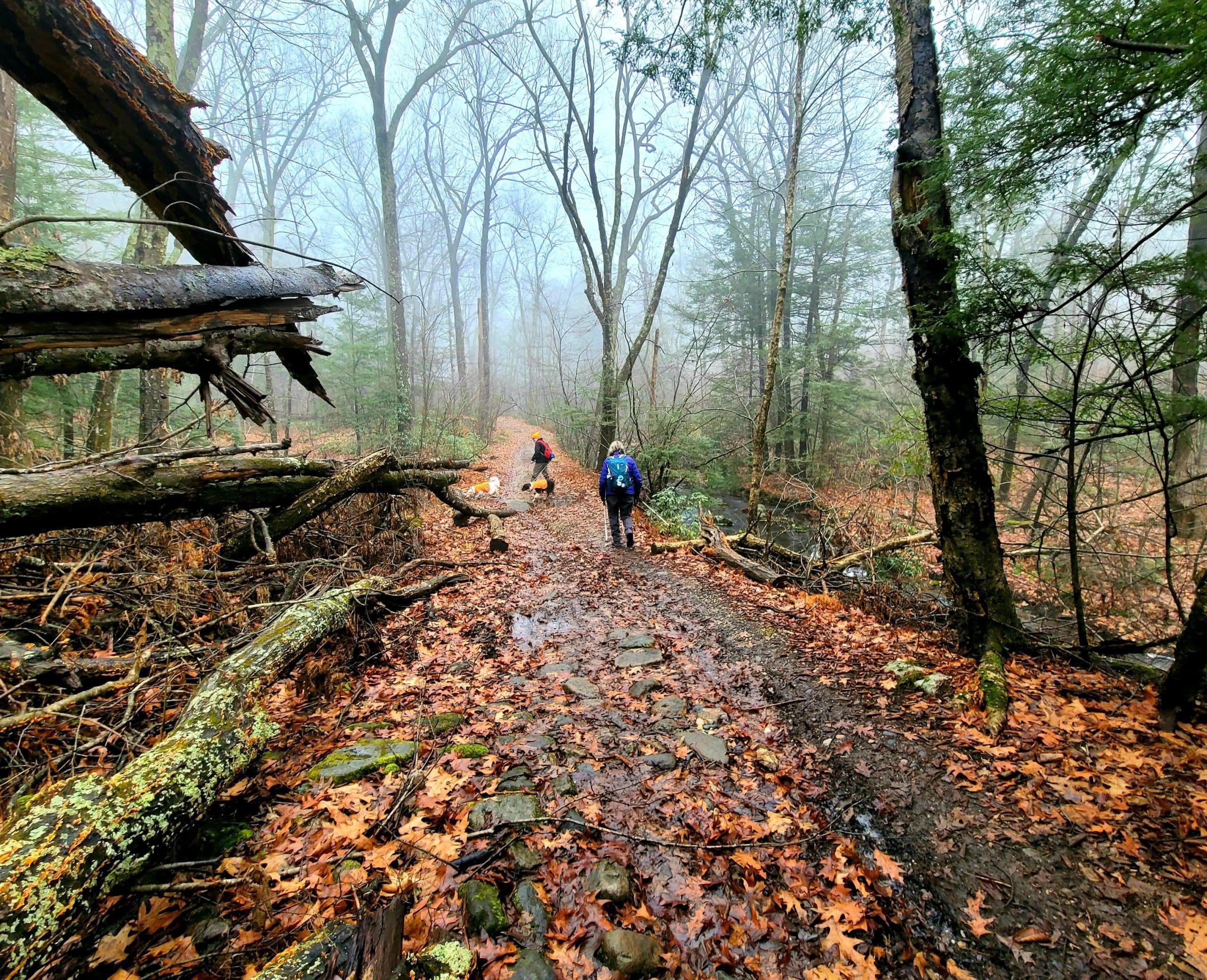
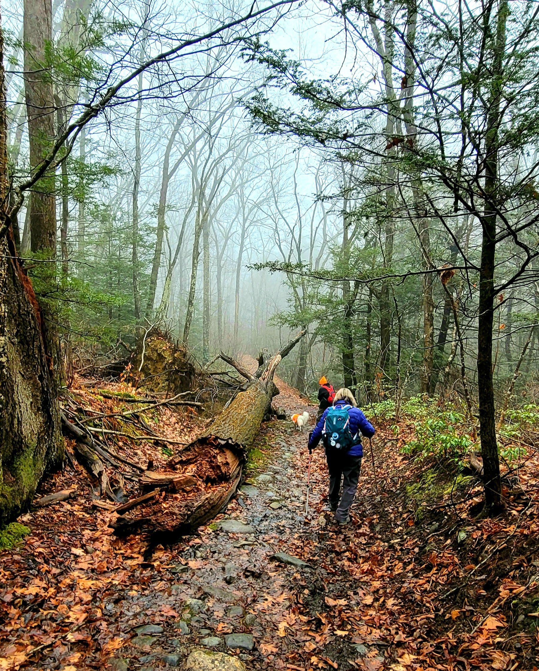
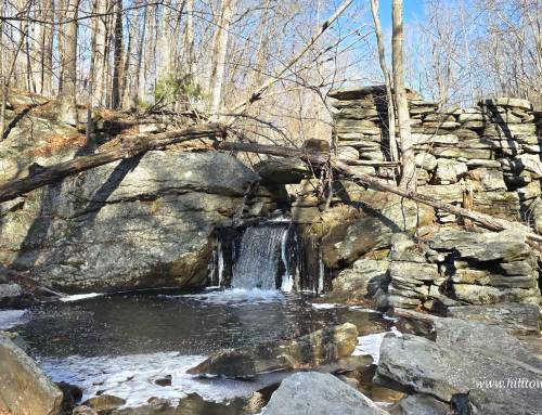
Parked on Reservoir Road and went on the old road past the now drained Tekoa Reservoir, crossed the bridge over Moose Meadow and it’s falls and gristmill below, we took a right on old Tekoa Road as we approached the Grace A. Robson Conservation Area and hiked beside Moose Meadow Brook to the old stone bridge. We made this trip the easier climb up by taking the yellow blazed trail (700 ft elevation gain) to the summit (trails shown on GAIA) (big hint:wear your ice cleats for the slippery rocks and leaves!) Taking a left just before the bridge. With Moose Meadow Brook and several waterfalls below us. At about the three mile mark we came to the main Tekoa summit trail which leads to the big rock overlooking the turnpike and Westfield. We chose the scenic route and branched right onto the white dot Unkamit’s Path (section 7), passing Bobcat Cave and others, a foggy view of the entire Westfield River Valley West and East, Strathmore Mill below us, some bouldering along the cliff, went to the rock and then looped back down on the main trail. Approx. 6 miles total, 980 feet of elevation gain, 4.5 hours. A mind clearing, surreal, high up in the clouds on top of the world hike!!
hikethehilltowns with the #westernmasshilltownhikers #discoverthehilltowns #visitthehills #themountainsarecallingandimustgo #montgomeryma


www.westernmasshilltownhikers.com visit our daily blog for all trail reviews and happenings! We are on Instagram TikTok Pinterest Twitter YouTube Meetup @hilltownhikers www.hilltownhikers.com
Massachusetts 501c3 Non-Profit Organization


Leave a Reply