
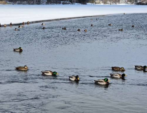
Bullhead Rock at Lake Garfield Bullhead Rock Drill Holes courtesy of Michael Germain. Drill holes were a standard way of marking property lines along shorelines in early days, so there are other rocks all around the lake that are now underwater but at one time indicated boundaries. Another common use of drill holes was to reference and record water levels in bodies of water.
In 1847, Frederick D. Ingersall, representing the Tyringham, Hartsville, and Mill River Hydraulic Association, was seeking flooding rights on land to the east of Brewer Pond (so called). The deed between them and James M. Fargo read in part as follows, “the rights to flow the lands of the said James M. Fargo adjoining the Brewer Pond (so called) to the lower hole in a large rock which hole is six-and one-half feet higher than the ordinary level of the pond… covering about three acres and a hundred and nineteen rods of land.” (One acre equals 160 square rods. One rod, 16.5′ squared equals 272 square feet.) Postcards courtesy of Jim Moore
Visit our blog for all of our adventures! want to come along on these hikes? Become a member at www.hilltownhikers.com
Help conserve the Chester Granite Saw, our newest property! https://www.pledge.to/help-conserve-the-chester-granite-saw
Text HILLTOWNHIKERS to 707070 to donate.
www.hilltownhikers.com
You can mail your tax-deductible donation to Western Mass Hilltown Hikers, PO Box 3, Chester, MA 01011
Venmo @hilltownhikers
Stay informed – join our mailing list https://lp.constantcontactpages.com/sl/5O0RYN5/hilltownhikeremail


Leave a Reply