

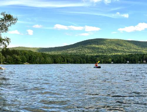
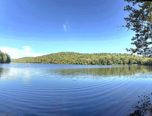
Lake Congomond paddle on South Pond. 477 acres of paddling on this great pond located off of Route 168 on the Massachusetts-Connecticut border in Southwick. Lake Congomond has three basins connected by waterways, here are the stats; The North basin (47 acres) has an average depth of 21 feet and a maximum of 46 feet, the middle basin (284 acres) has an average depth of 22 feet with a maximum of 42 feet, and the south basin (146 acres) has an average of 16 feet with a maximum of 27 feet.
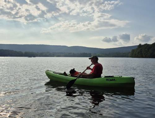
The town of Southwick manages two public boat ramps in the middle basin. The north ramp is located off Point Grove Road on the northern shore of the middle basiin, the south ramp is located off Berkshire Road on the southeastern shore of the middle basin.
Western Mass Hilltown Hikers
#hikethehilltownhistory
#hikethehilltowns with the #westernmasshilltownhikers #discoverthehilltowns #visitthehills #hilltownhistory #flashhike #intheberkshires #nature #adventure #history #hiking #outdooradventures #visittheberkshires #mylocalMA #visitma #hilltownhikers #westernmass #hikingwithdogs
Visit our blog for all of our adventures! want to come along on these hikes? Become a member at www.hilltownhikers.com
Help conserve the Chester Granite Saw, our newest property! https://www.pledge.to/help-conserve-the-chester-granite-saw
Text HILLTOWNHIKERS to 707070 to donate.
www.hilltownhikers.com
You can mail your tax-deductible donation to Western Mass Hilltown Hikers, PO Box 3, Chester, MA 01011
Venmo @hilltownhikers
Stay informed – join our mailing list https://lp.constantcontactpages.com/sl/5O0RYN5/hilltownhikeremail


Leave a Reply