


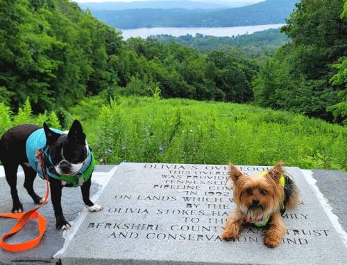
 Follow a section of Unkamit’s Path (white dot), a white blazed scenic trail which includes the top of Round Hill a grassy open summit with spectacular 360 degree views, the highest point in Hampden County elevation 1,780 feet and 5th highest in Massachusetts. You will stumble apon the benchmark and register and sign the guestbook. There is a unique forest of hickory and juniper trees. The land is adjacent to Chester Blandford State Forest and thousands of other acres of conservation land. This hike has a 400 foot elevation gain to the summit, be prepared for uphill climbing as well as the continuous amazing view along the edge. There are signs guiding you along the way. Mid way to the summit the trail tees off. Signage guides you to each trail. There is a less steep orange blazed fire road which descends back to Round Hill Road, the two trails make a loop if you cant make it to the summit. At the summit you will find the triangulation of US Geological markers. At that point you will be at the highest elevation in Hampden County at 1,765 feet. Views at the summit include the white church in Blandford, Gobble Mountain in Chester, Chester Blandford State Forest and the ridge of the Becket Quarry. Unkamit’s Path (white dot) continues from the summit along the ridge of Round Top Hill, past Round Hill Pond and takes you to Hampden Street in Chester, at that juncture you will find the kiosk for the Chester Becket Railroad Trail. Read more about the rich railroad history in Chester here. The Town of Chester walking map Trails show a detailed map of the CB Trail.. Cross route 20 at Hampden Street to the two yellow bollards around a hydrant and find the continuation of Unkamit’s Path up to Gobble Mountain and then on to the Keystone Arch Bridges Trail.


Most of this section of Round Top Hill is in conservation with Hilltown Land Trust after Round Hill residents Will and Sarah Freedberg donated acreage for us all to enjoy. Take a look at the other properties that HLT has including hiking maps here.


Park at the State Road parking lot of the Chester Blandford State Forest off Round Hill Road.
The trail head for the white dot blazed Unkamit’s Path is approximately 300 feet to the right when walking out of the entrance to the State Forest parking lot along Round Hill Road and is marked by two cairns and a large tree on the left side with a triangle blazed into it.
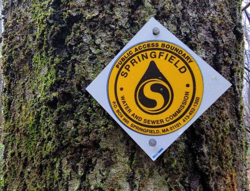
The trail head for the orange blazed fire road is several hundred feet further down Round Hill Road on the left where conservation signage is in place and an old logging road heads into the woods.
Directions:Â Take Route 20 or Route 23 to Blandford Road in Chester turn onto Round Hill Road (Blandford Town Line). Plan for two hours to loop the entire trail. Please be aware that there are no facilities at the trail.


April 2019 Trail Maintenance on Round Top Hill


