

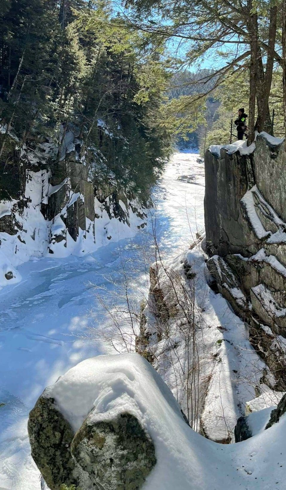
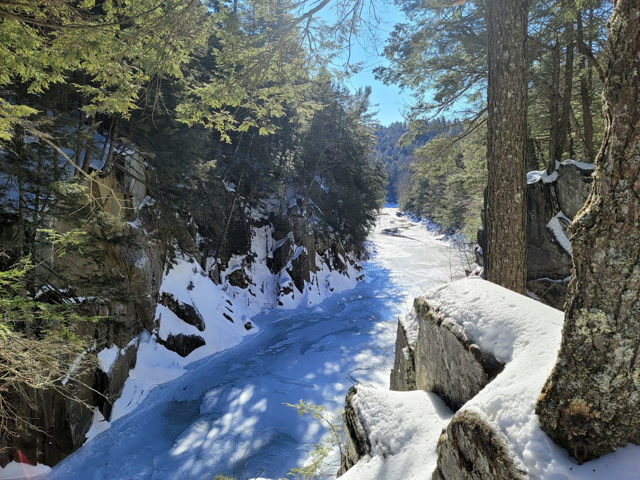
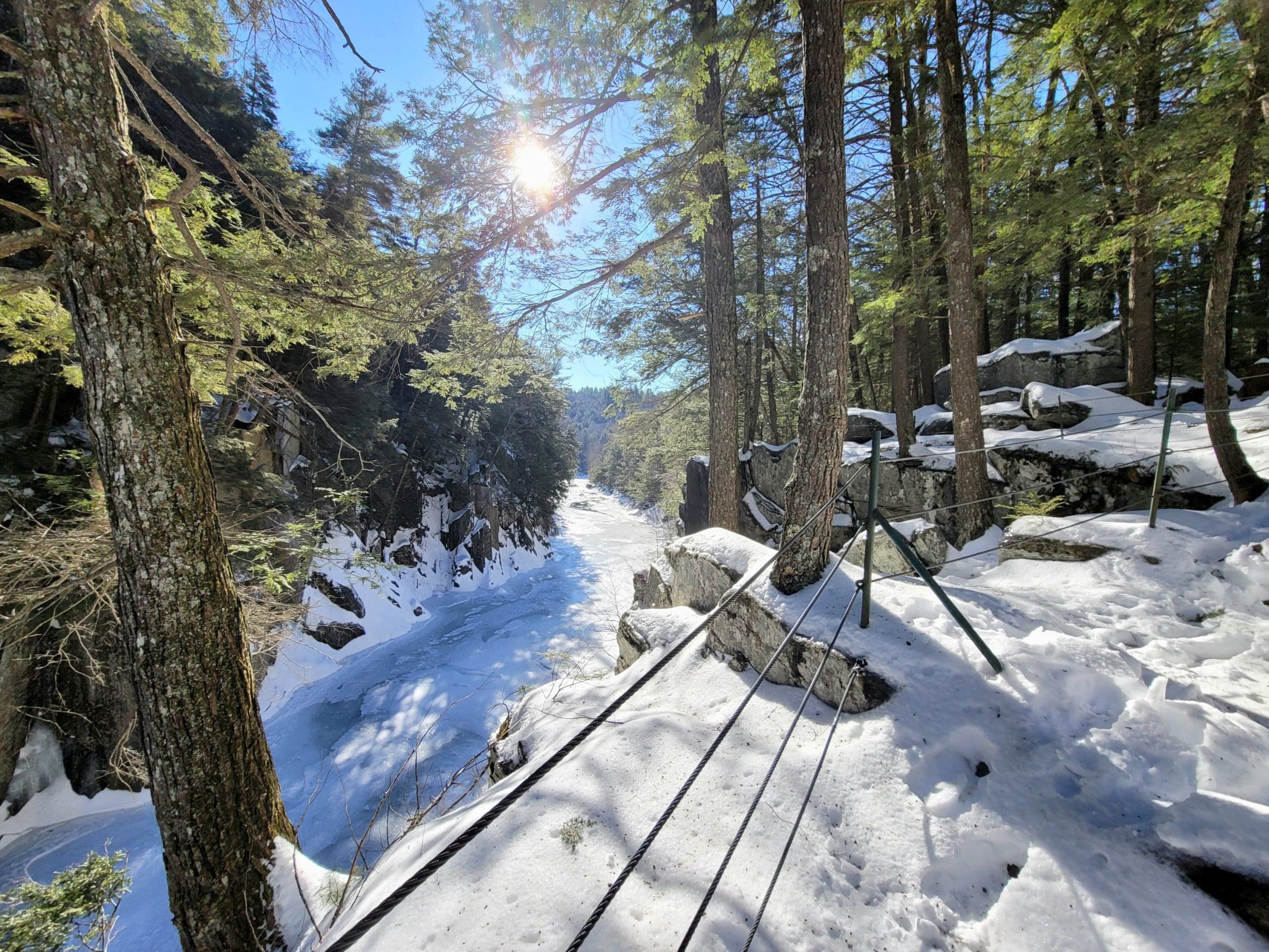
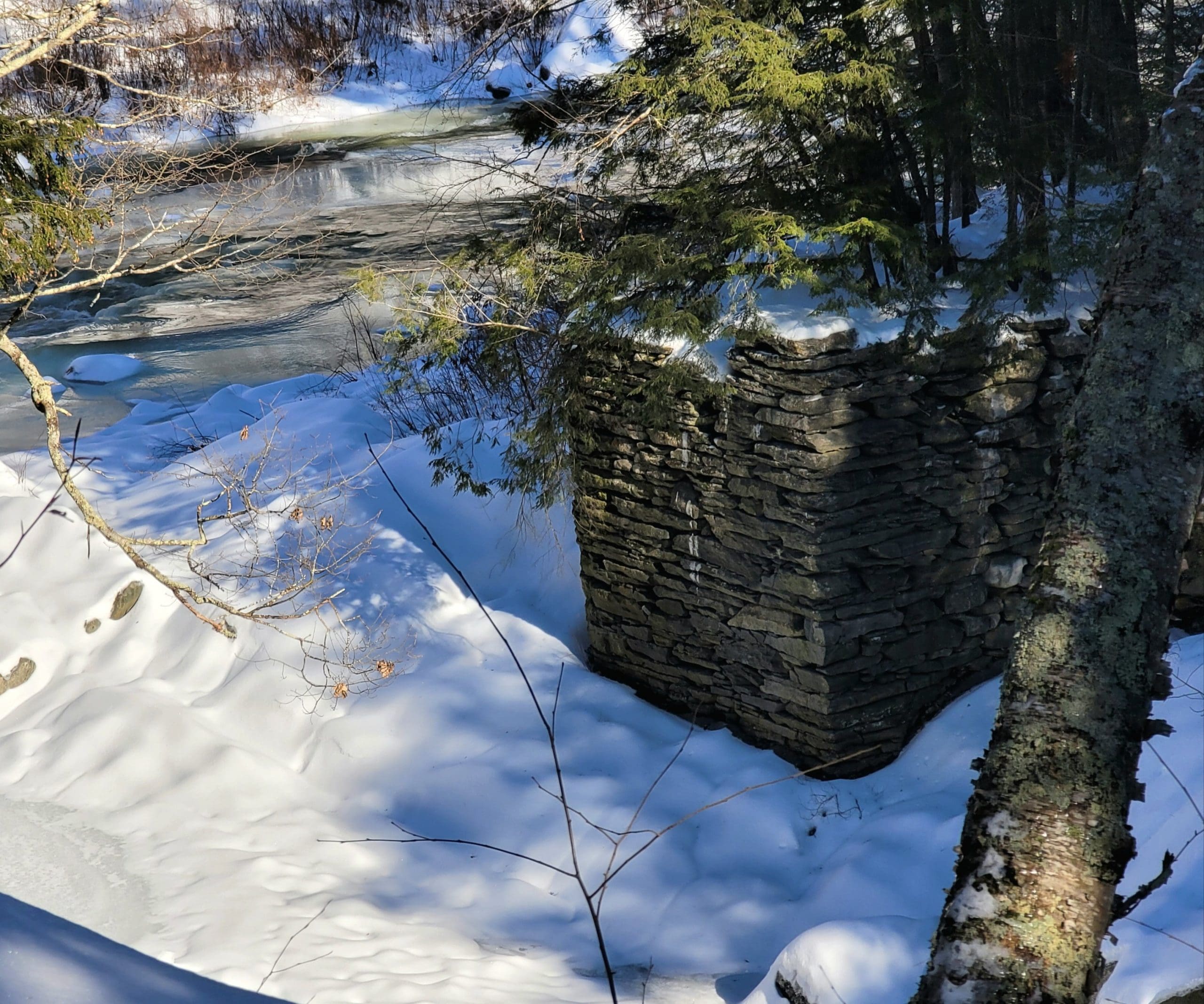
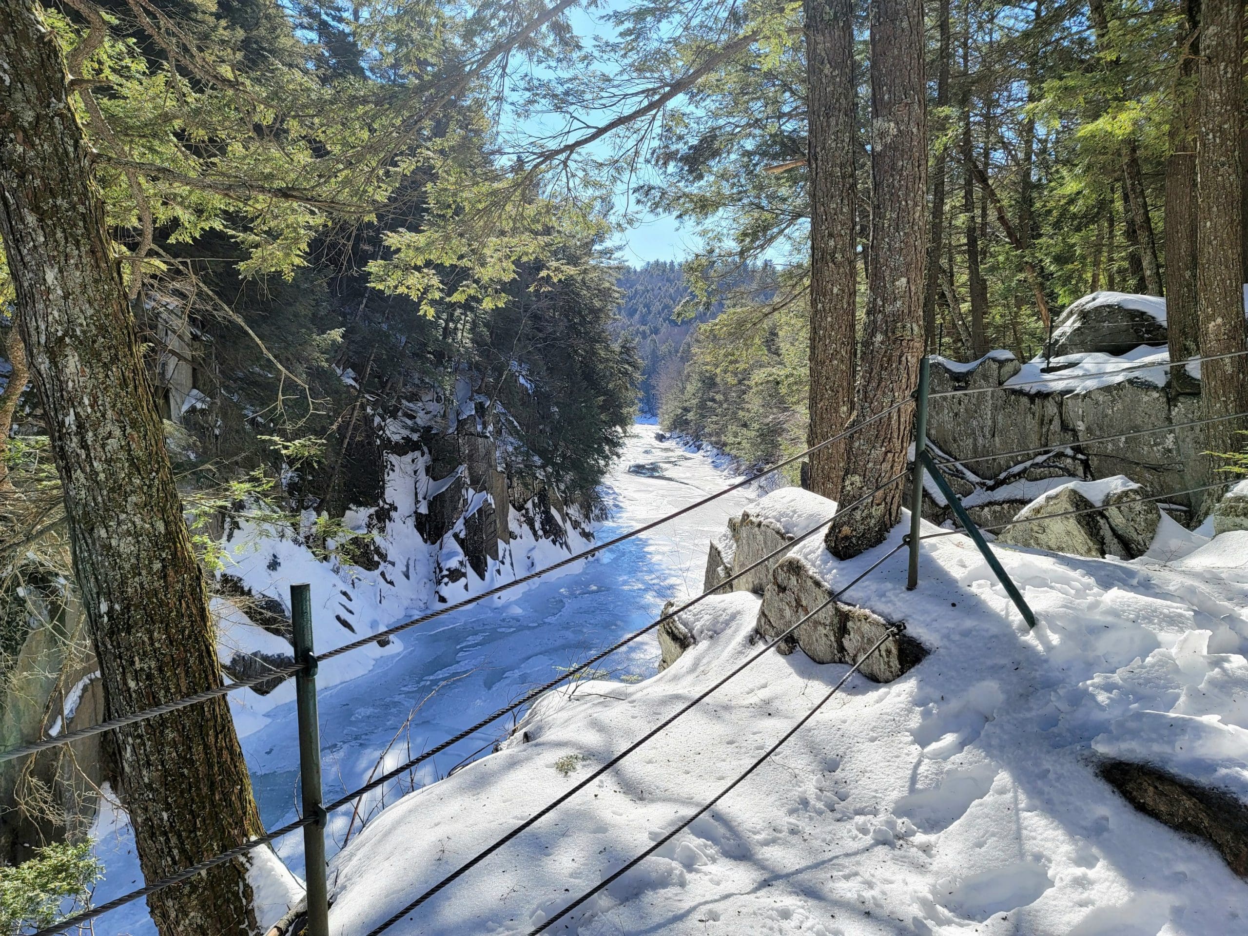
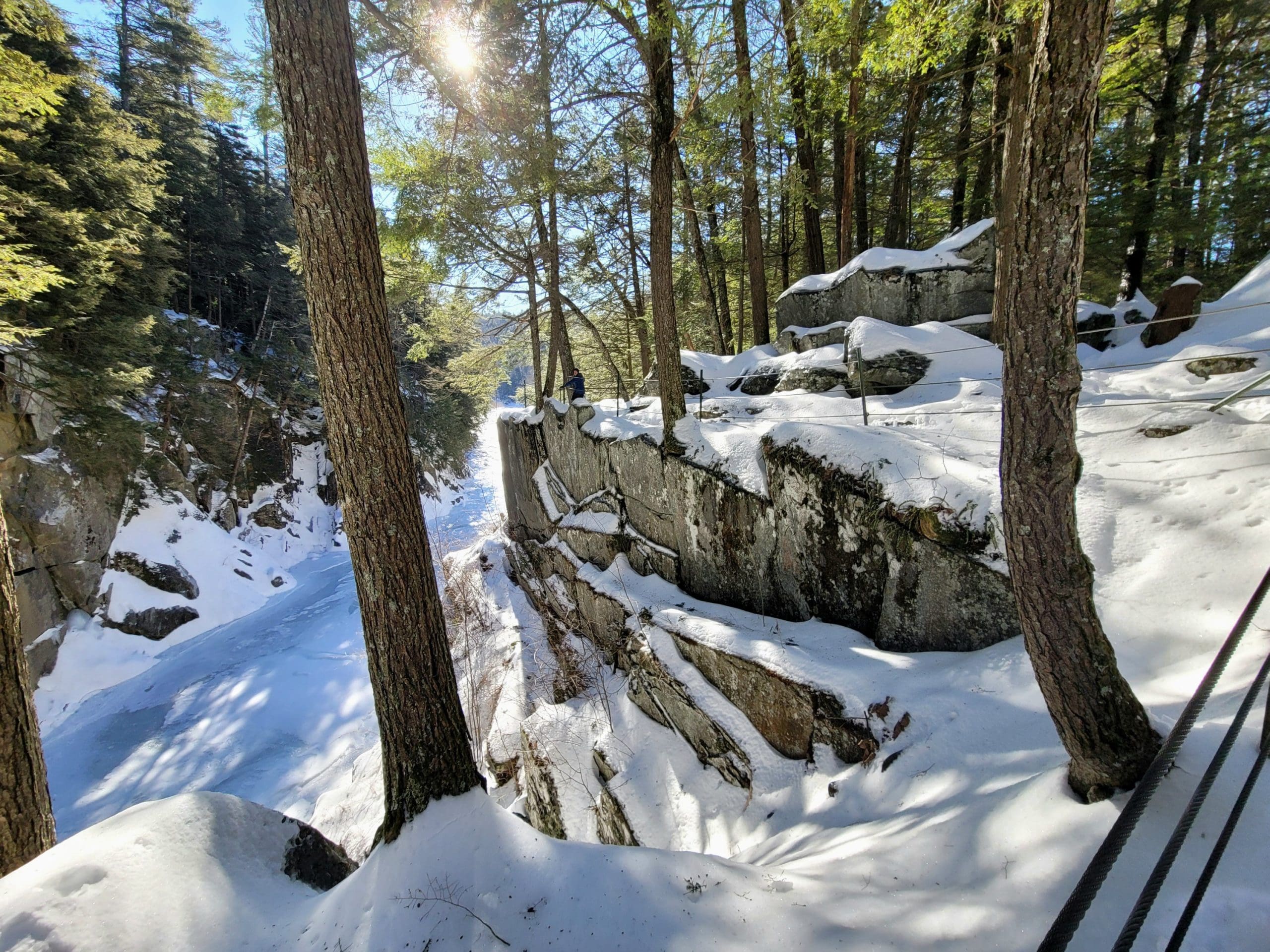
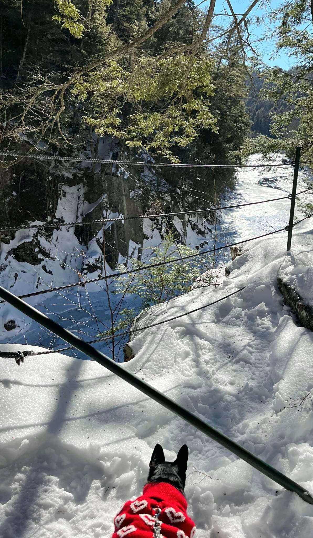
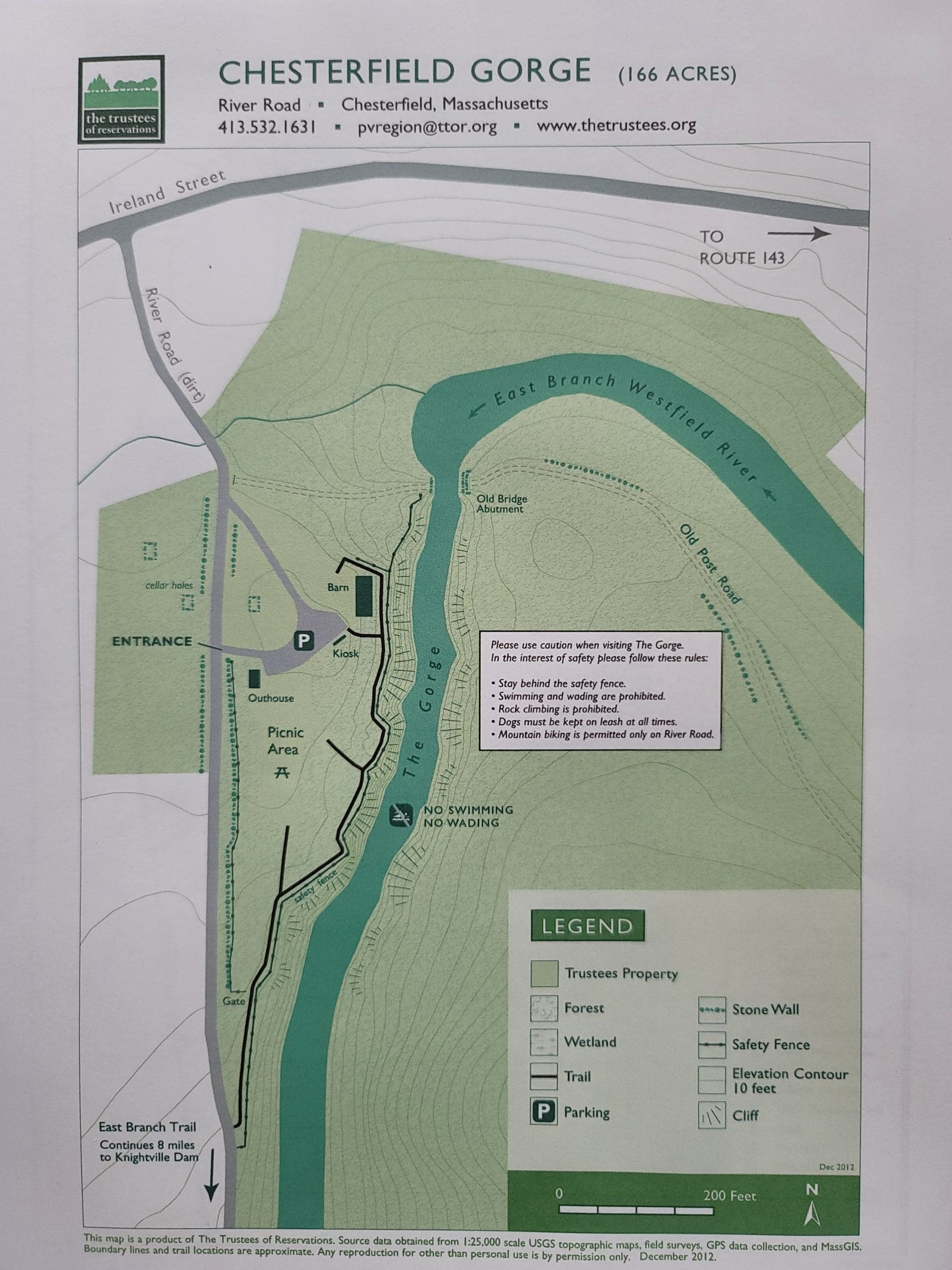
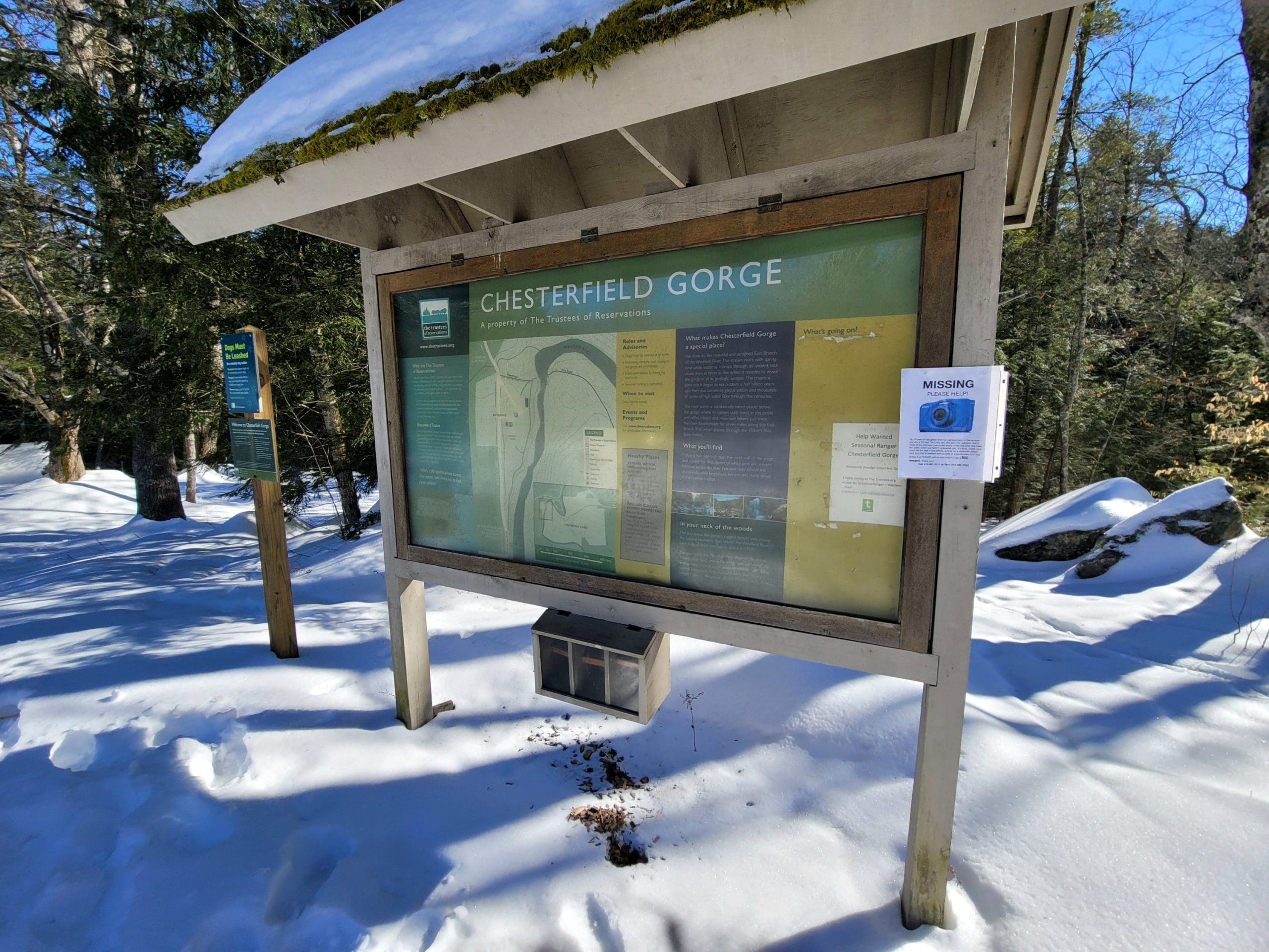
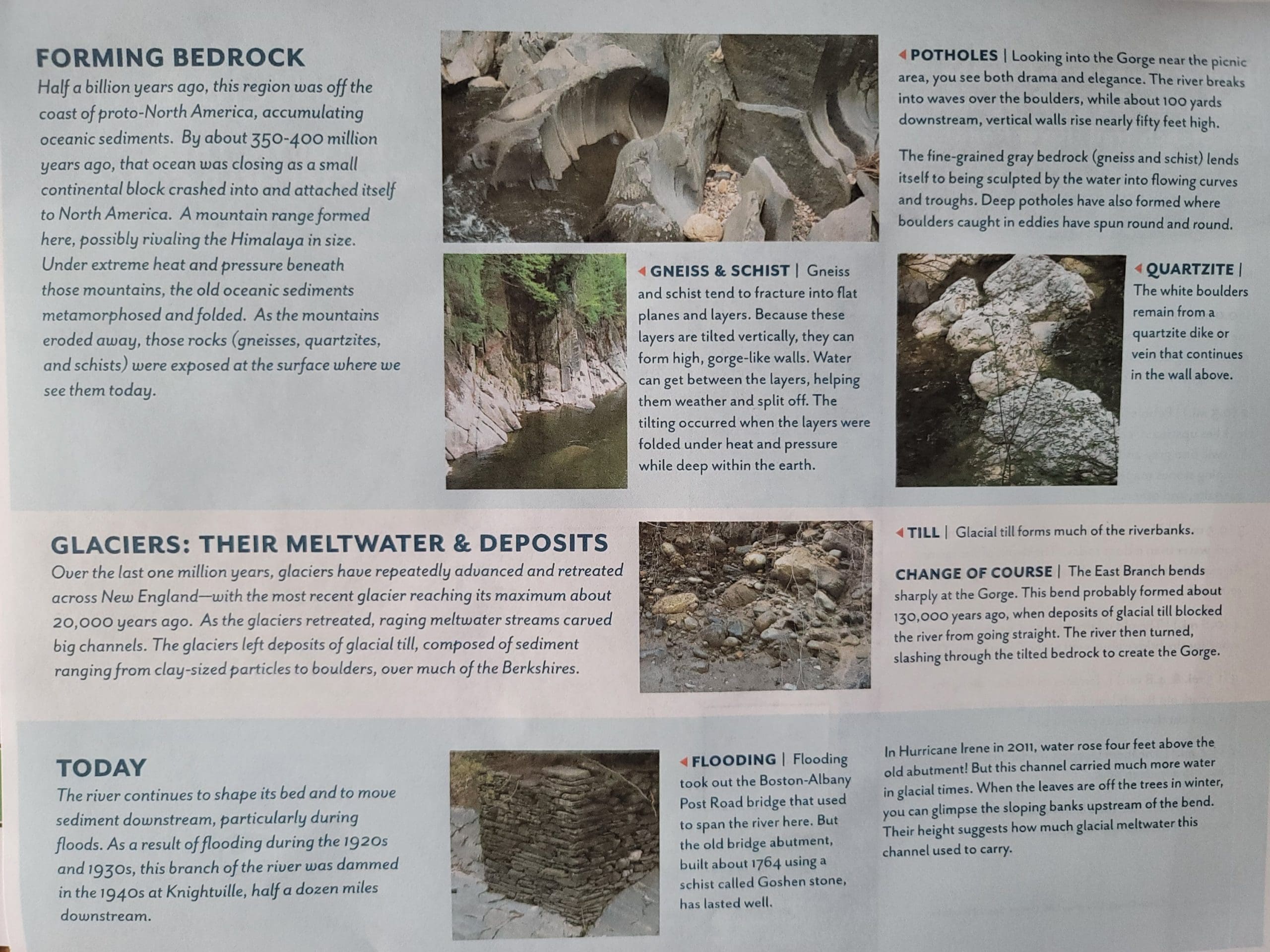
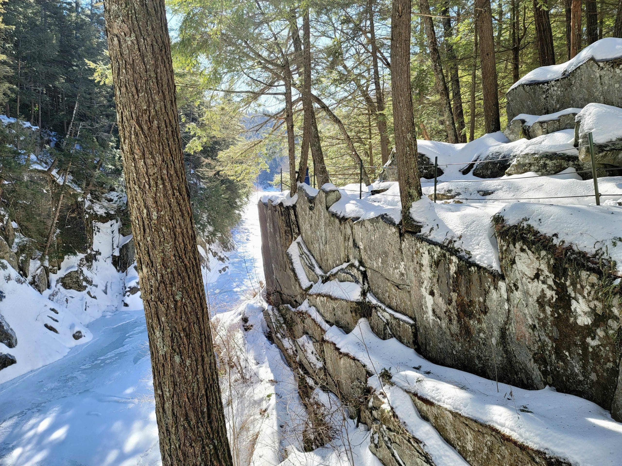
Chesterfield Gorge, a Trustees Property. The geology here in this unique gorge is amazing. From the Westfield Wild and Scenic: The river continues to shape its bed and to move sediment downstream, particularly during floods. As a result of flooding during the 1920s and 1930s, this branch of the river was dammed in the 1940s at Knightville, half a dozen miles downstream. The river breaks into waves over the boulders, while about 100 yards downstream, vertical walls rise nearly fifty feet high. Gneiss and schist tend to fracture into flat planes and layers. Because these layers are tilted vertically, they can form high, gorge-like walls. Flooding took out the Boston-Albany Post Road bridge that used to span the river here, the old bridge abutment, built about 1764 still remains.
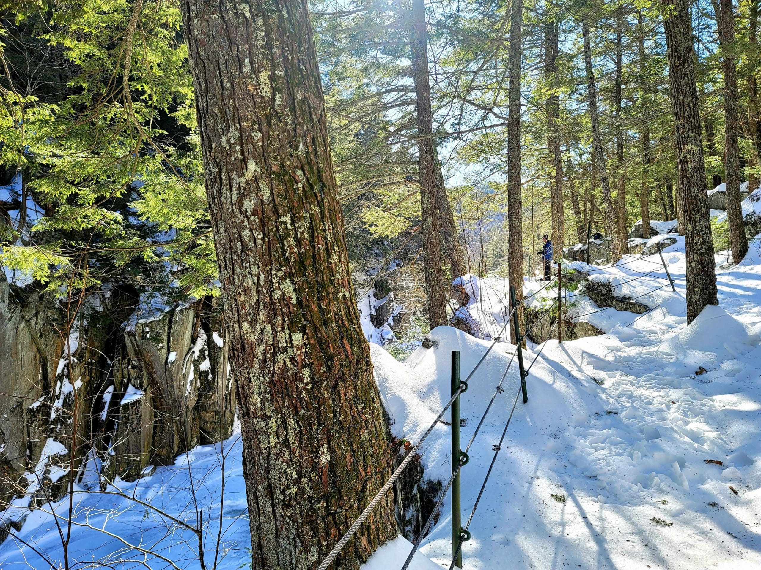
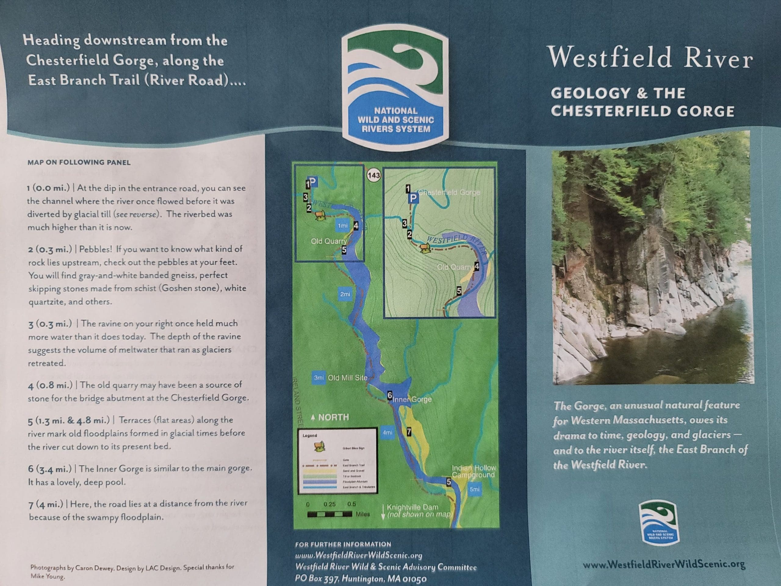
The East Branch Trail starts here as well (see previous post). The East Branch Trail runs 6.6 miles from the Chesterfield Gorge trailhead (The Trustees) to the Knightville Dam in Huntington, traveling thru the Gilbert A Bliss State Forest (DCR) along the East Branch of the Westfield River. Wide and relatively flat, the trail winds thru the most scenic and wild scenery including the old quarry site for the old bridge, views of Smith Pyramid and further along at the 3 mile marker the Baker Dam Mill Site and 5 miles in the Taylor Bridge and Indian Trading Village.
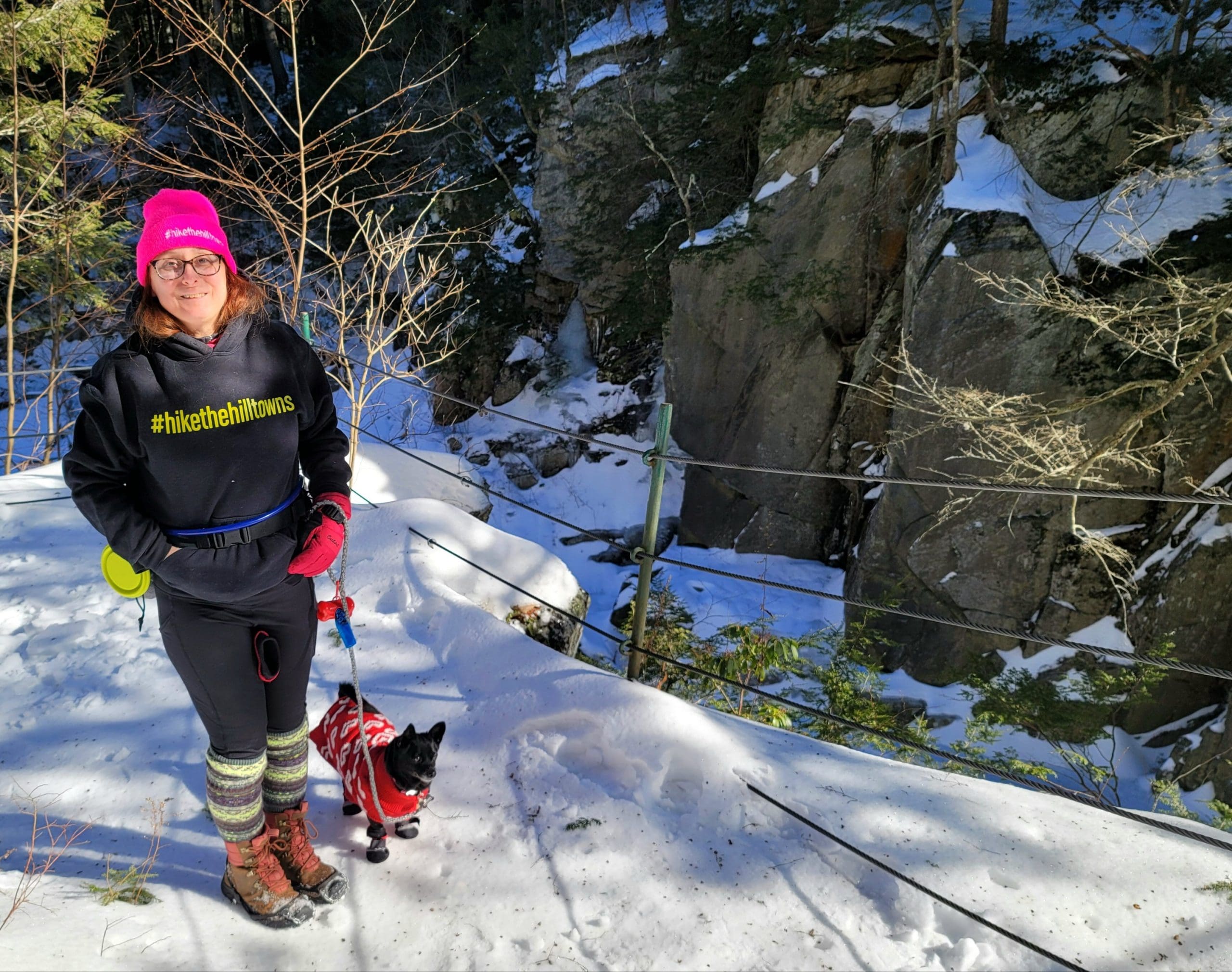
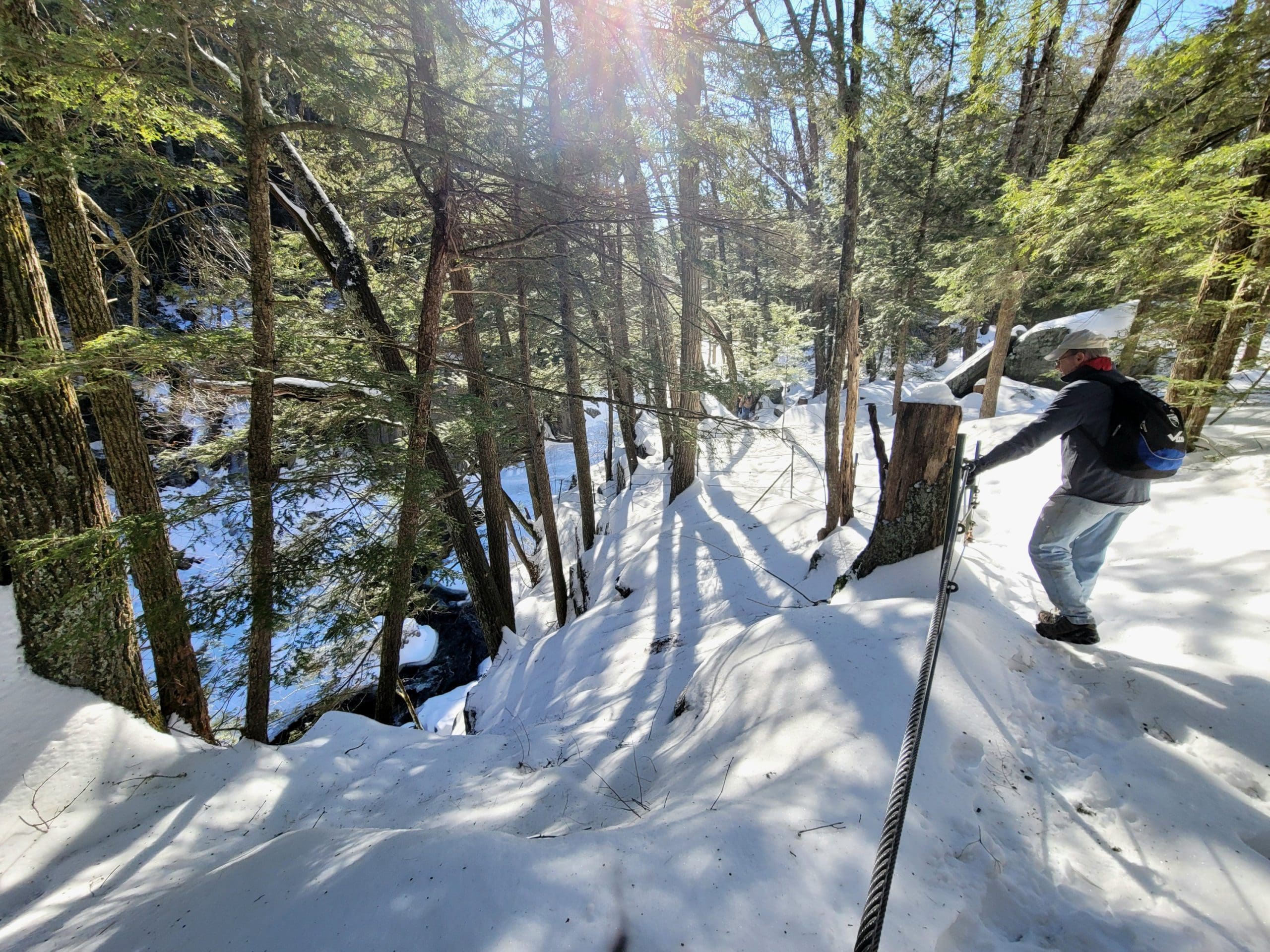
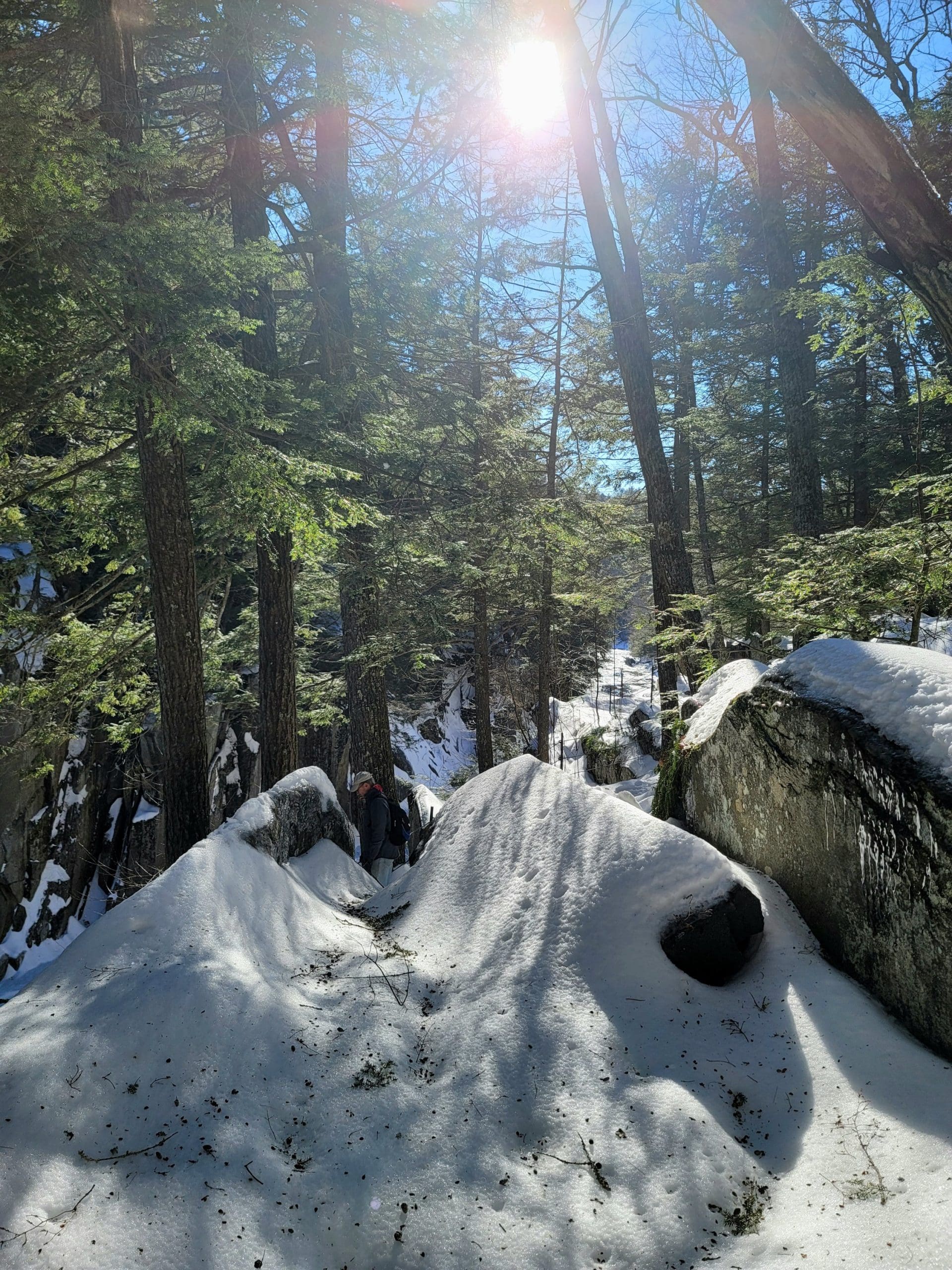
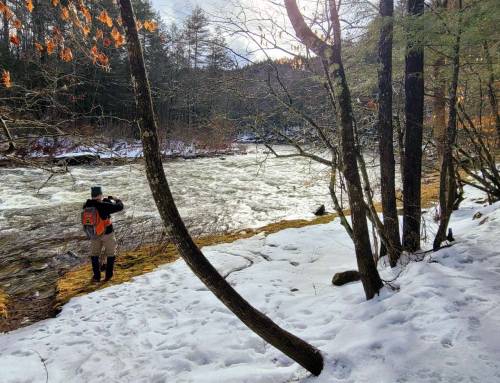
This trail is shared by the Chesterfield Snowmobile Club and they offer a big parking lot in winter for a $2 donation AND making conditions prime for cross country skiing and snowshoeing. We went 2 miles in and back on this day for a #flashhike
hikethehilltowns with the #westernmasshilltownhikers #discoverthehilltowns #visitthehills #flashhike #hilltownhistory #chesterfieldma #trustees #DCR

www.hilltownhikers.com visit our blog, trail maps and more! We are on Instagram TikTok Pinterest Twitter YouTube Meetup @hilltownhikers
A 501c3 Massachusetts Non-Profit Organization


Leave a Reply